
Accurate Existing-Condition Site Plans
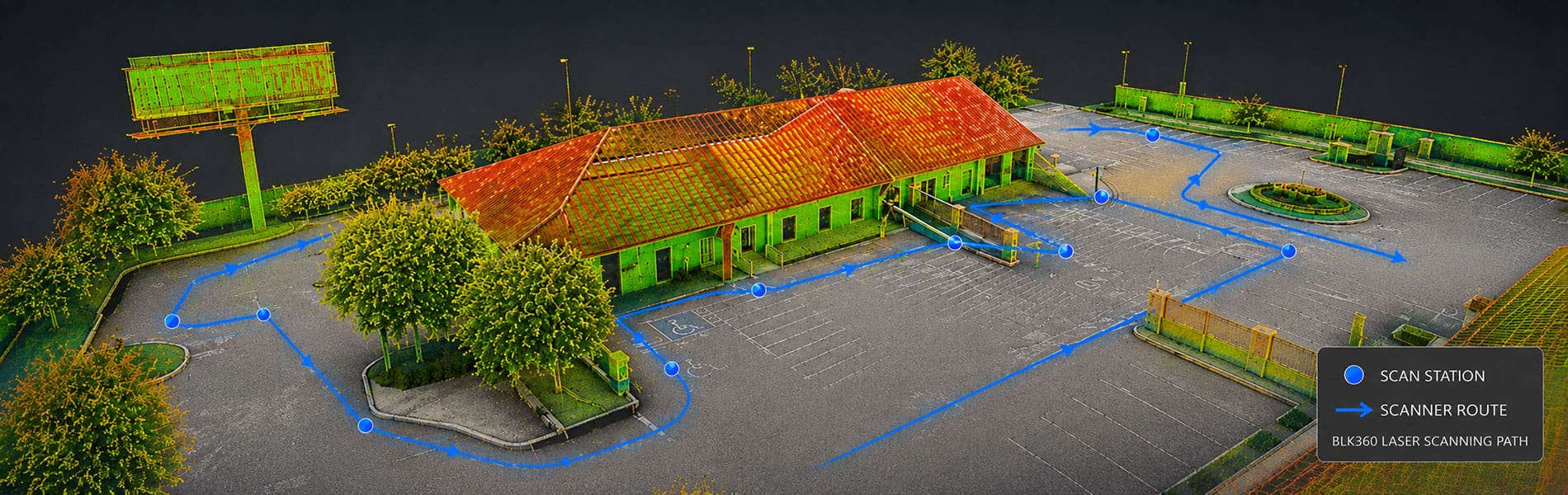
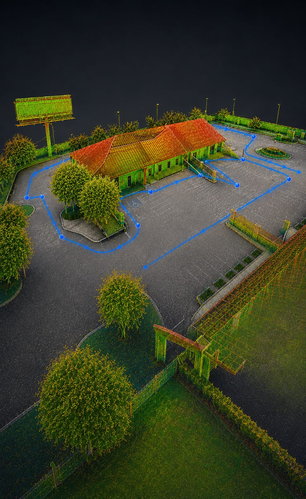
US As Built creates detailed as-built site plans documenting the existing conditions of residential and commercial properties. Using high-accuracy 3D capture technology, we record buildings, hardscape, parking areas, landscape features and other visible site elements and translate that field data into clear, dimensionally accurate CAD drawings.
Our site plans provide architects, designers, contractors and property owners with reliable documentation for renovation, planning, permitting and construction.
Every project is tailored to the level of detail and drawing requirements of the property.
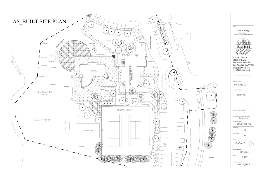
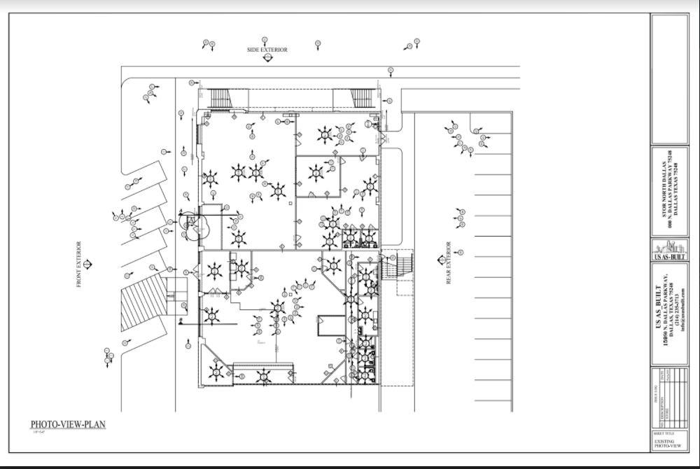
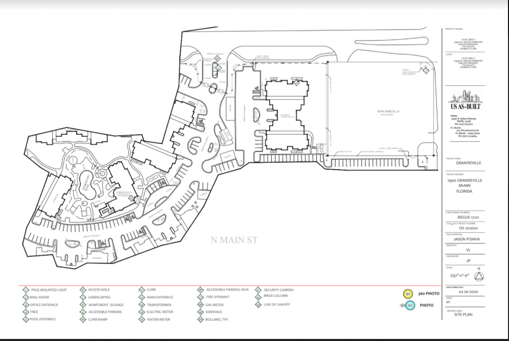
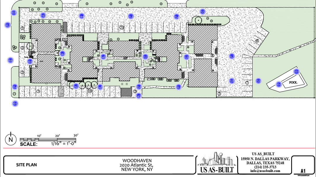
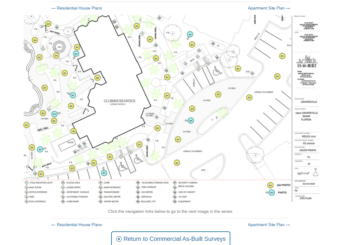
Detailed Documentation of Existing Site Conditions
Depending on project requirements, an as-built site plan can document:
Buildings & Structures
Parking & Vehicular Areas
Walkways & Hardscape
Landscape Features
Fences, Gates & Site Features
Site Relationships & Dimensions
Site Plans for a Range of Properties
Residential Properties
Commercial Properties
Landscape & Exterior Improvements
From Field Capture to Finished Site Plan

Capture Existing Conditions

Build the Existing-Condition Record

Create the Site Plan

Deliver the Required Files
Advanced 3D Capture Technology
Matterport + Leica BLK360 LiDAR
US As Built uses both Matterport and Leica BLK360 LiDAR scanning technology, allowing us to select the right capture method for the needs of each project.
Some projects benefit from using both technologies, combining precision dimensional capture with comprehensive visual documentation.
Leica BLK360 LiDAR Scanning
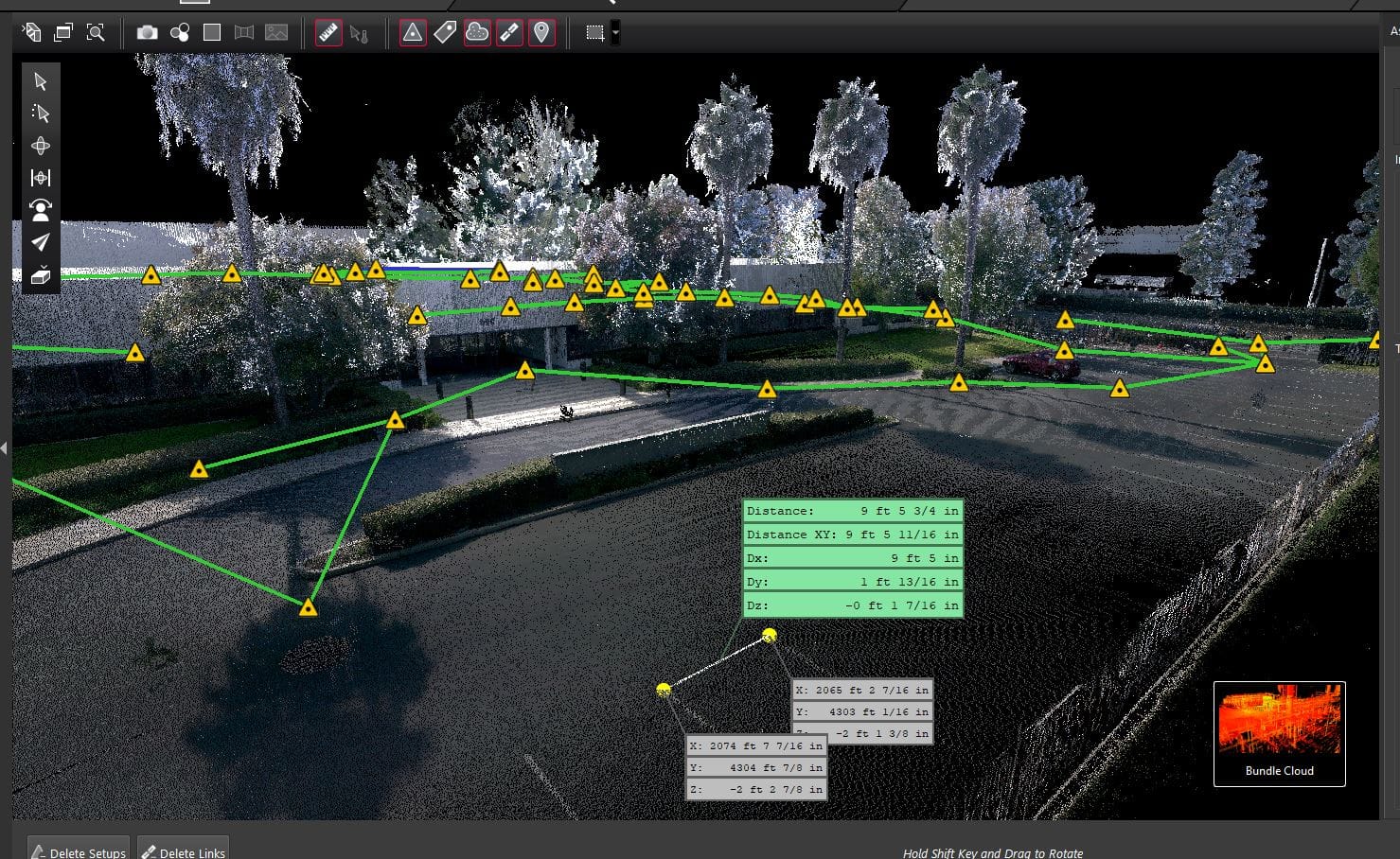
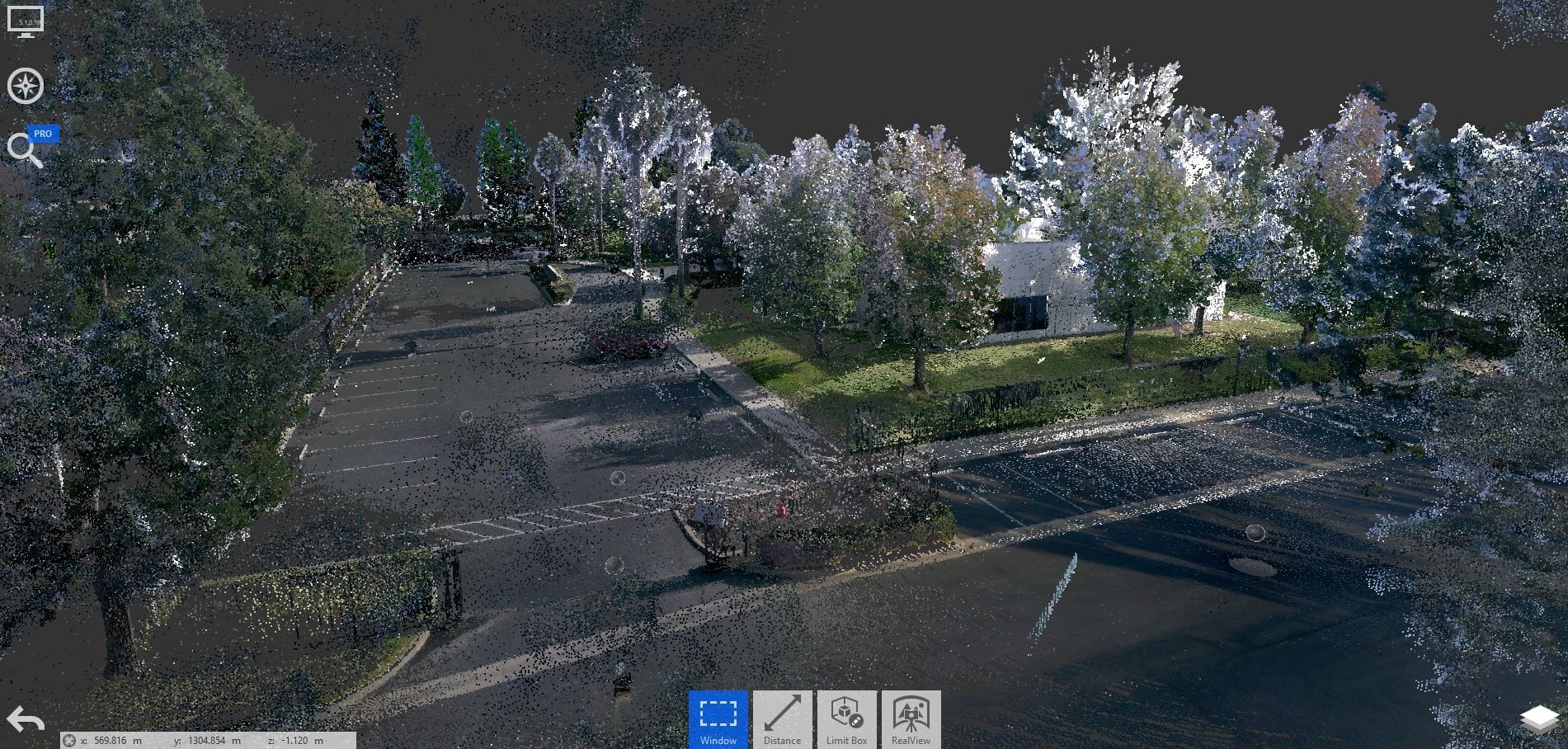
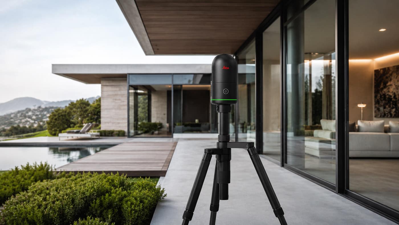
The BLK360 captures highly detailed three-dimensional point-cloud data along with spherical HDR imagery. It is particularly valuable when dimensional accuracy and detailed existing-condition documentation are critical to the project.
Leica specifies the current BLK360 at 4 mm accuracy at distances up to 10 meters, and its LiDAR system captures up to 680,000 points per second.
Matterport 3D Capture
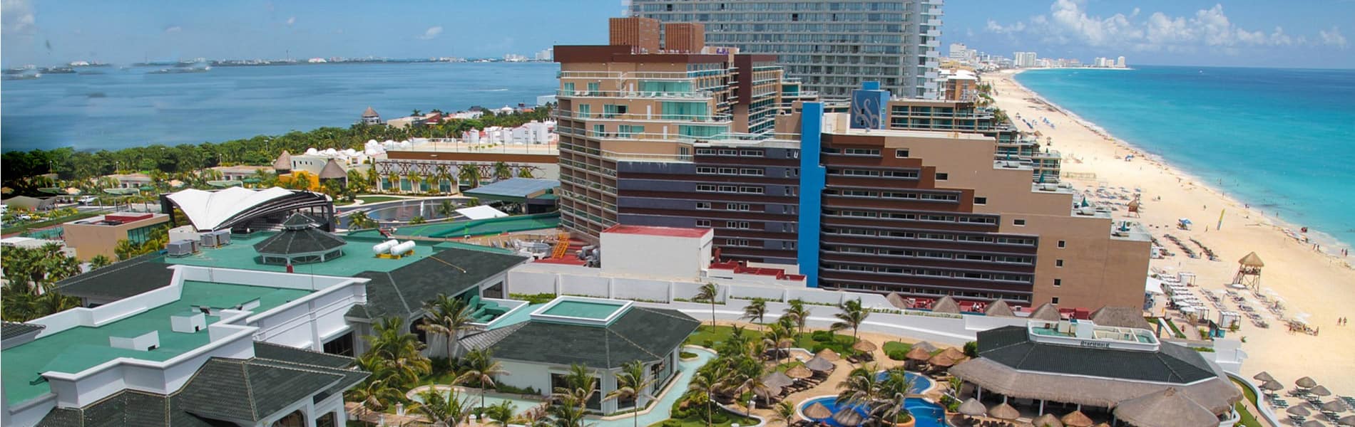
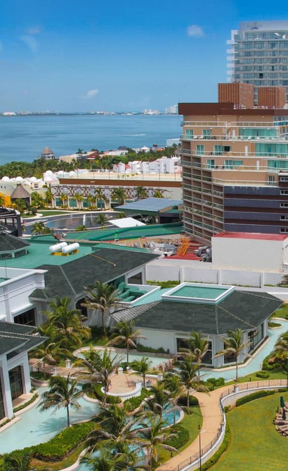
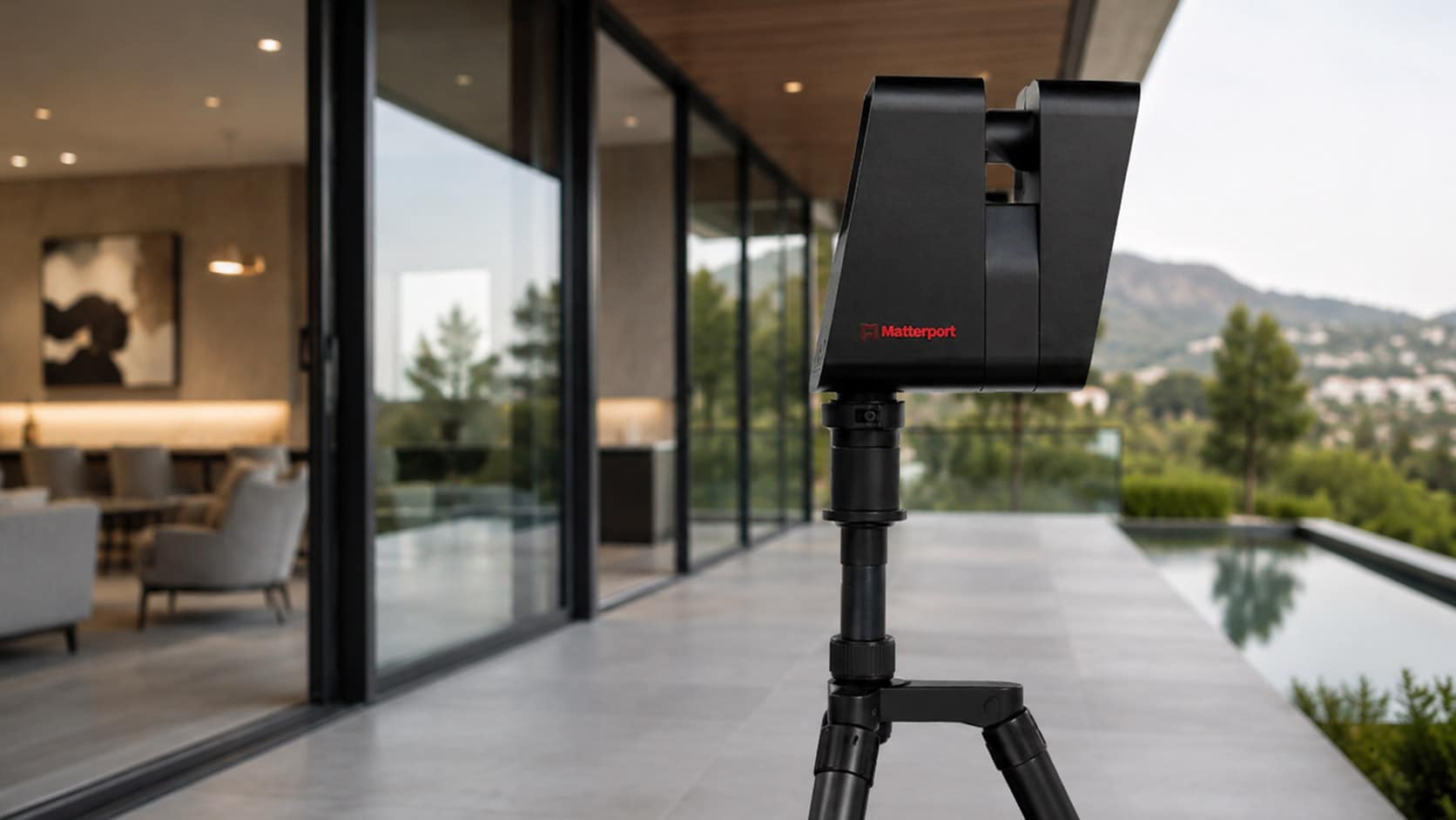
Matterport creates an immersive digital representation of a property that can be viewed and navigated remotely. It is particularly useful for visual documentation, project collaboration and giving architects, designers, contractors and property owners continued access to a captured space after the site visit.
Matterport models can function as shareable digital twins, giving project stakeholders remote access to the documented space.
Need a 3D Scan or As-Built Documentation?
Tell us about your property and the deliverables your project requires. US As Built can help determine the appropriate scanning method and provide a quote for field capture, drafting, modeling or complete as-built documentation.
- Residential & Commercial Projects
- Matterport & Leica BLK360 Capture
- CAD, Revit & Point Cloud Deliverables
Get a Free Quote
"*" indicates required fields