Mall
Commercial As-Built Surveys & Existing-Condition Documentation

Accurate floor plans, elevations, site documentation and 3D capture for renovations, tenant improvements, permitting and design.

previous arrowprevious arrow
next arrownext arrow

Commercial As-Built Documentation for Renovation, Design & Planning

US As Built documents existing commercial properties for architects, engineers, contractors, property owners and design teams throughout Southern California. Using Leica BLK360 laser scanning, Matterport 3D capture and field measurement as appropriate, we produce accurate floor plans, elevations, site plans and other existing-condition drawings for renovations, tenant improvements, permitting and facility planning.

Commercial As-Built Services

US As Built provides existing-condition documentation for commercial renovation, design, permitting and facility-planning projects. Services are tailored to the property, required level of detail and final project deliverables.

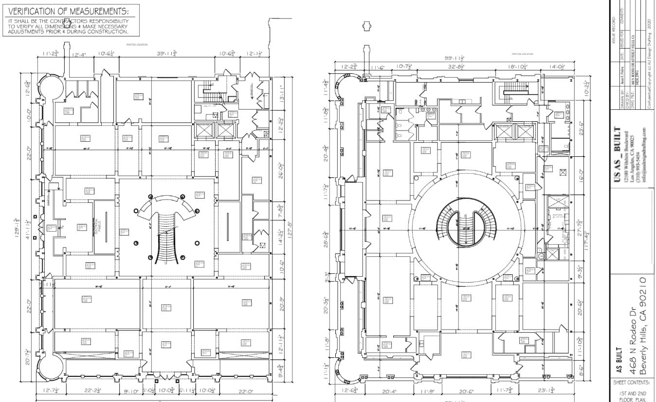
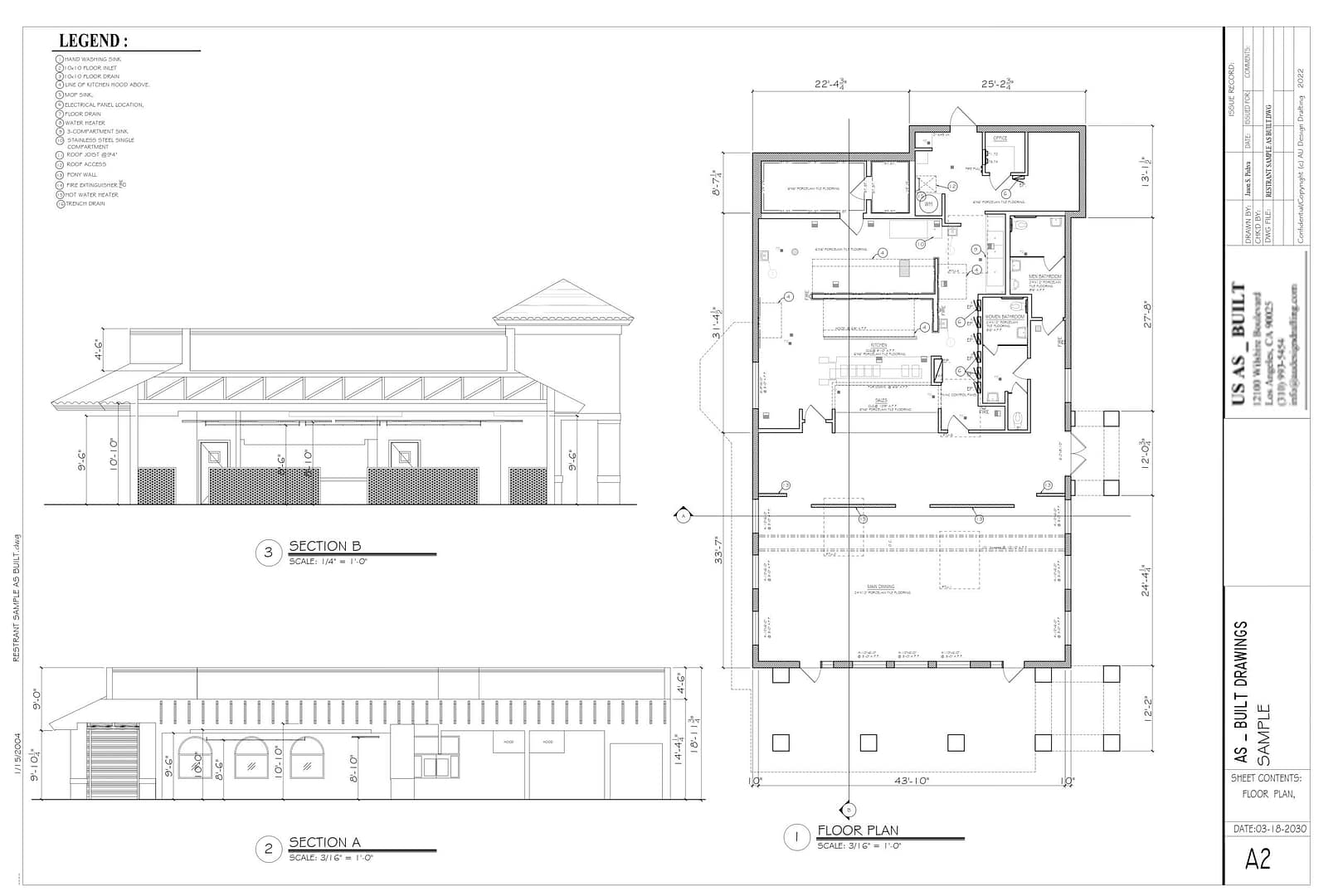
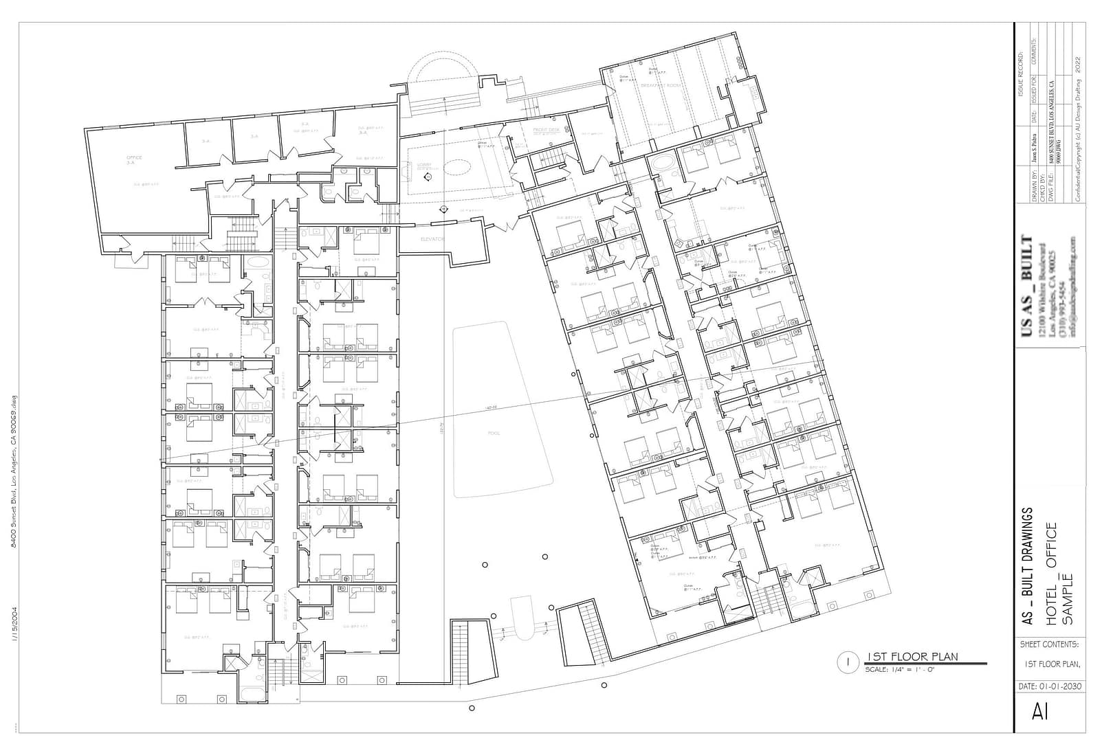
Commercial Floor Plans

Accurate existing floor plans documenting walls, doors, windows, rooms, fixtures and other conditions needed for renovation, tenant improvement and design.

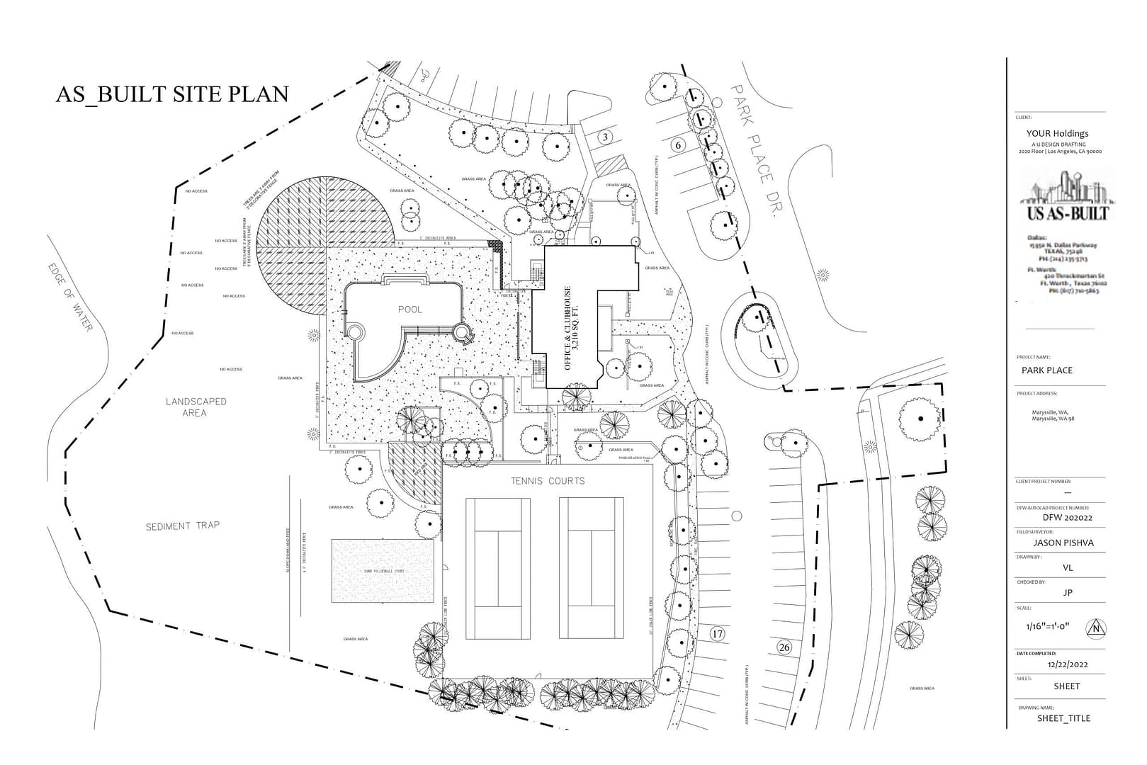
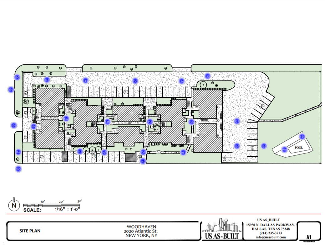
Site & Exterior Documentation

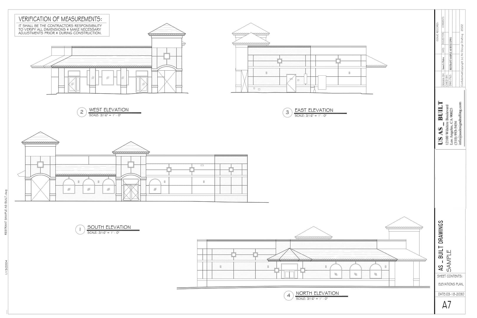
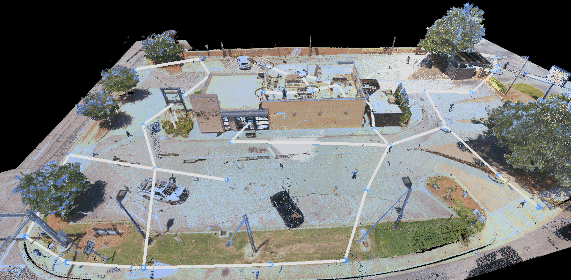
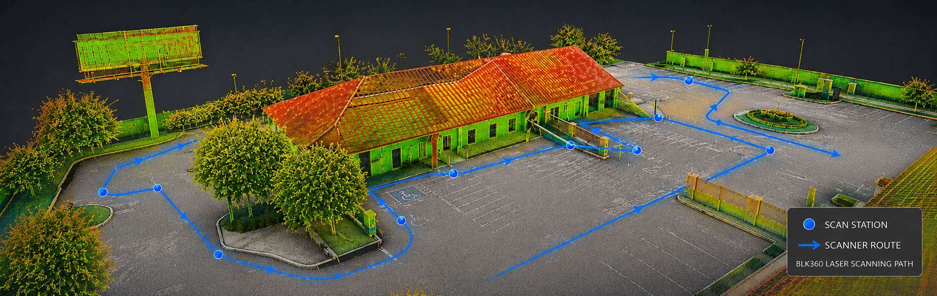
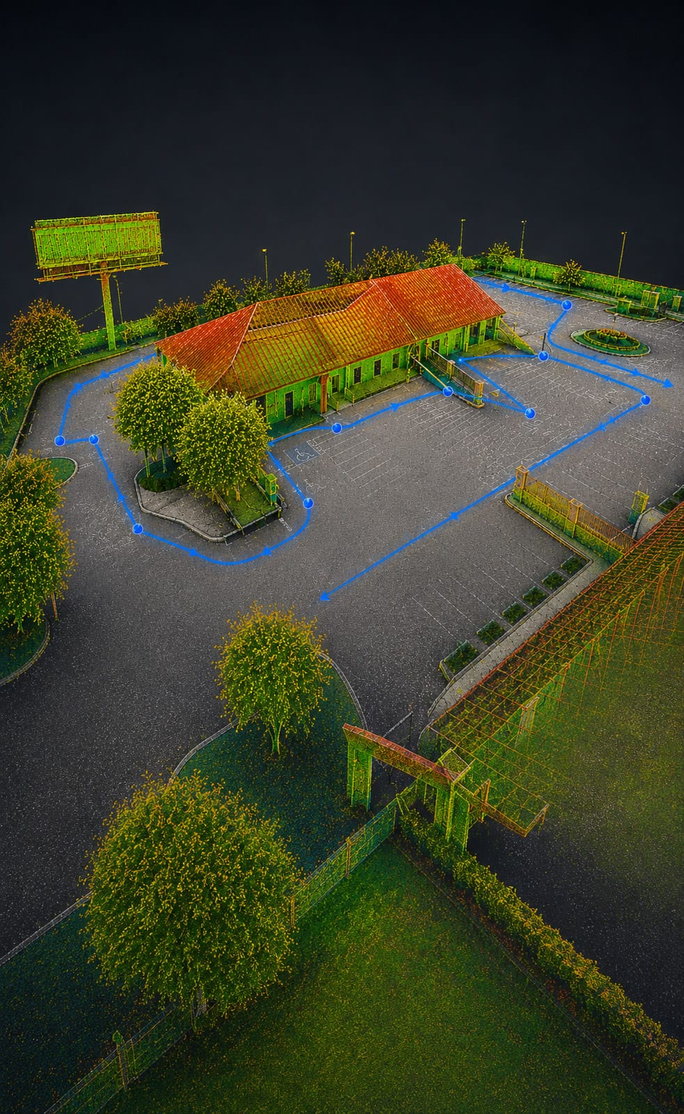
Existing site plans, building outlines, exterior elevations, parking areas and other property conditions documented for planning, permitting and design.

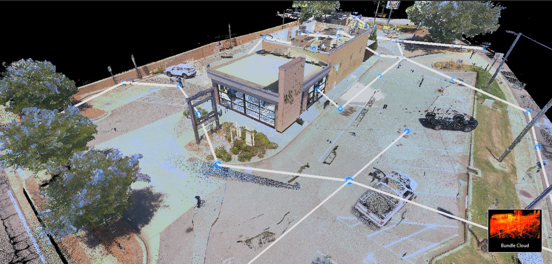
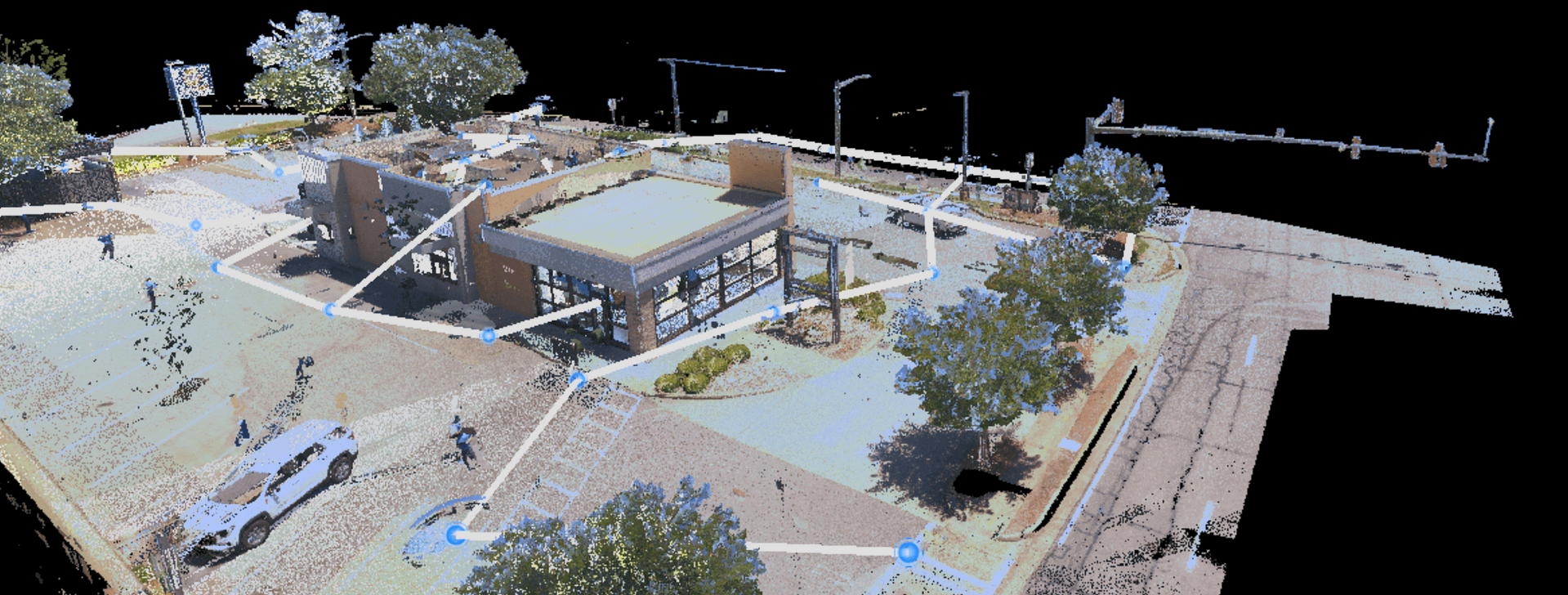
3D Laser Scanning & Reality Capture

Leica BLK360 laser scanning and Matterport capture provide detailed dimensional and visual records of complex commercial spaces and existing conditions.

CAD Drawings & 3D Models

Field data is translated into clear, usable CAD drawings and, when required, 3D models for architects, engineers, contractors and property teams.

Commercial Properties We Document

From offices and retail centers to hotels, restaurants, warehouses and institutional facilities, US As Built documents existing conditions across a wide range of commercial properties.

Office & Corporate

Retail & Restaurants

Hotels & Hospitality

Industrial & Warehouse

Institutional & Government

Historic & Specialty Properties

Advanced 3D Capture Technology

Matterport + Leica BLK360 LiDAR

US As Built uses both Matterport and the latest Leica BLK360 LiDAR scanning technology, allowing us to select the right capture method for the needs of each project.

Some projects benefit from using both technologies, combining precision dimensional capture with comprehensive visual documentation.

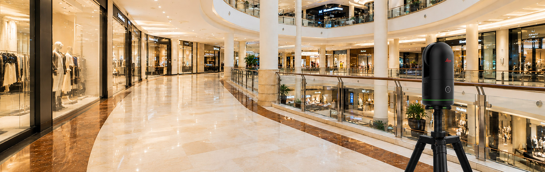
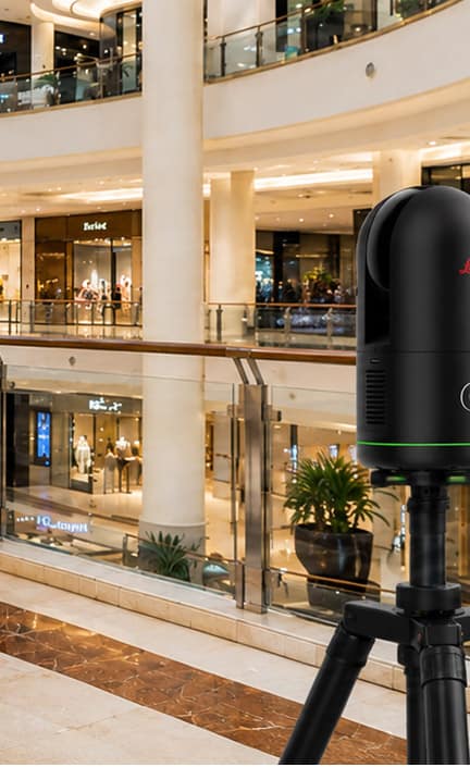
Leica BLK360 LiDAR Scanning

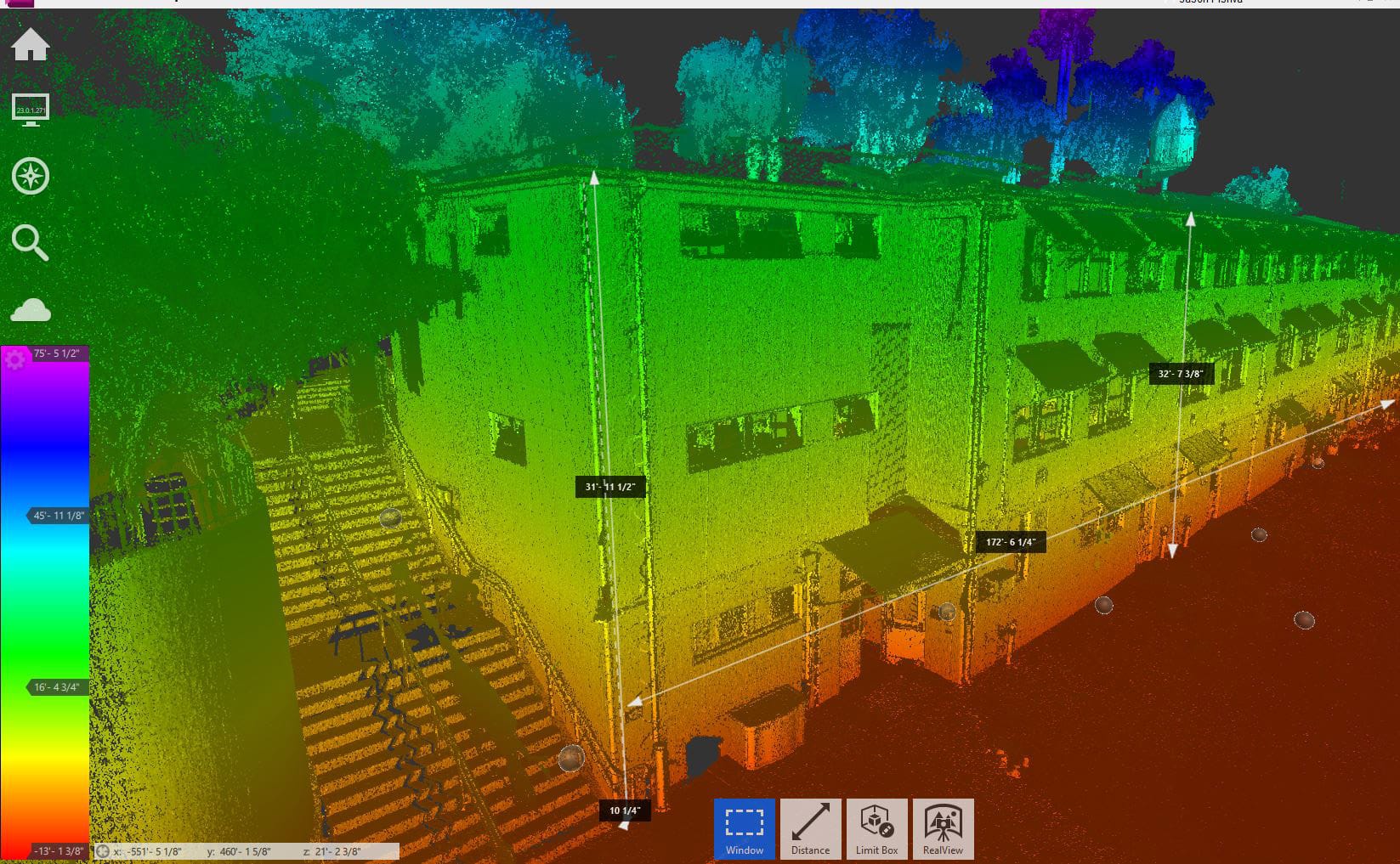
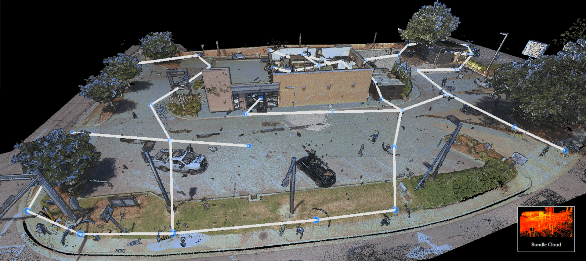
The BLK360 captures highly detailed three-dimensional point-cloud data along with spherical HDR imagery. It is particularly valuable when dimensional accuracy and detailed existing-condition documentation are critical to the project.

Leica specifies the current BLK360 at 4 mm accuracy at distances up to 10 meters, and its LiDAR system captures up to 680,000 points per second.
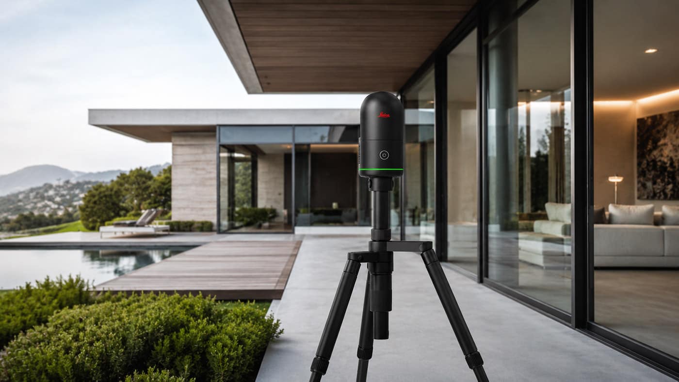
Leica BLK360 LiDAR Scanning
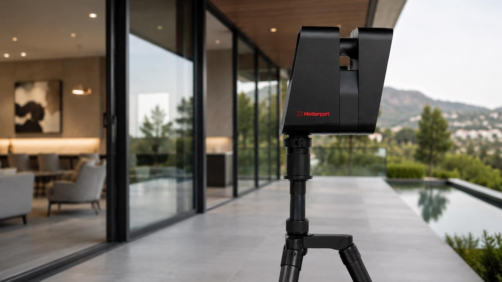
Matterport 3D Capture

Matterport 3D Capture

Matterport creates an immersive digital representation of a property that can be viewed and navigated remotely. It is particularly useful for visual documentation, project collaboration and giving architects, designers, contractors and property owners continued access to a captured space after the site visit.

Matterport describes these models as digital twins that can be remotely accessed and shared with project stakeholders

Our Commercial As-Built Process

Project Review

We review the property, project scope and required deliverables.

Proposal & Scheduling

We define the capture method, pricing and field schedule.

On-Site Documentation

We capture existing conditions using the appropriate measurement technology.

As-Built Production

Field data is translated into accurate CAD drawings and project documentation.

Quality Review & Delivery

Completed files are reviewed and delivered in the agreed formats.

Commercial Projects We Support

Renovations & Tenant Improvements

Existing conditions are documented before design begins, including walls, openings, ceilings, fixtures and other building elements needed for renovation or tenant-improvement planning.

Site & Exterior Improvements

Building footprints, exterior elevations, parking areas and other site conditions can be documented for planning, permitting and property improvements.

Existing Buildings Without Reliable Drawings

When original plans are missing, incomplete or outdated, US As Built can create current-condition documentation for architects, engineers, contractors and property teams.

Historic & Complex Properties

Laser scanning and detailed field measurement help document irregular geometry, complex spaces and buildings where conventional records are insufficient.

Need a 3D Scan or As-Built Documentation?

Tell us about your property and the deliverables your project requires. US As Built can help determine the appropriate scanning method and provide a quote for field capture, drafting, modeling or complete as-built documentation.

  • Matterport & Leica BLK360 Capture
  • CAD, Revit & Point Cloud Deliverables

Get a Free Quote

"*" indicates required fields

This field is for validation purposes and should be left unchanged.
Name*

Frequently Asked Questions About Commercial As-Built Surveys

What is a commercial as-built survey?
A commercial as-built survey documents the current dimensions and conditions of an existing property. The captured information can be used to produce floor plans, elevations, site plans, sections, CAD drawings and 3D models for renovation, permitting, design and facility planning.
When do I need commercial as-built drawings?
As-built documentation is commonly needed for renovations, tenant improvements, permitting, property improvements and design projects, particularly when original drawings are missing or no longer reflect existing conditions.
Can you create drawings if the original plans are unavailable?
Yes. US As Built can document the existing property directly using laser scanning, Matterport capture and field measurements, then produce current-condition drawings from the collected data.
What types of commercial properties can you document?
US As Built works with offices, retail properties, restaurants, hotels, warehouses, institutional facilities, government buildings and other commercial or specialty properties.
When is 3D laser scanning appropriate?
Laser scanning is particularly useful for larger, complex or irregular spaces where detailed dimensional capture is required for CAD drawings, 3D models or design coordination.
What deliverables can you provide?
Deliverables can include floor plans, elevations, site plans, reflected ceiling plans, building sections, CAD drawings and other documentation defined by the project scope.

Commercial As-Built Deliverables

FLOOR PLANS

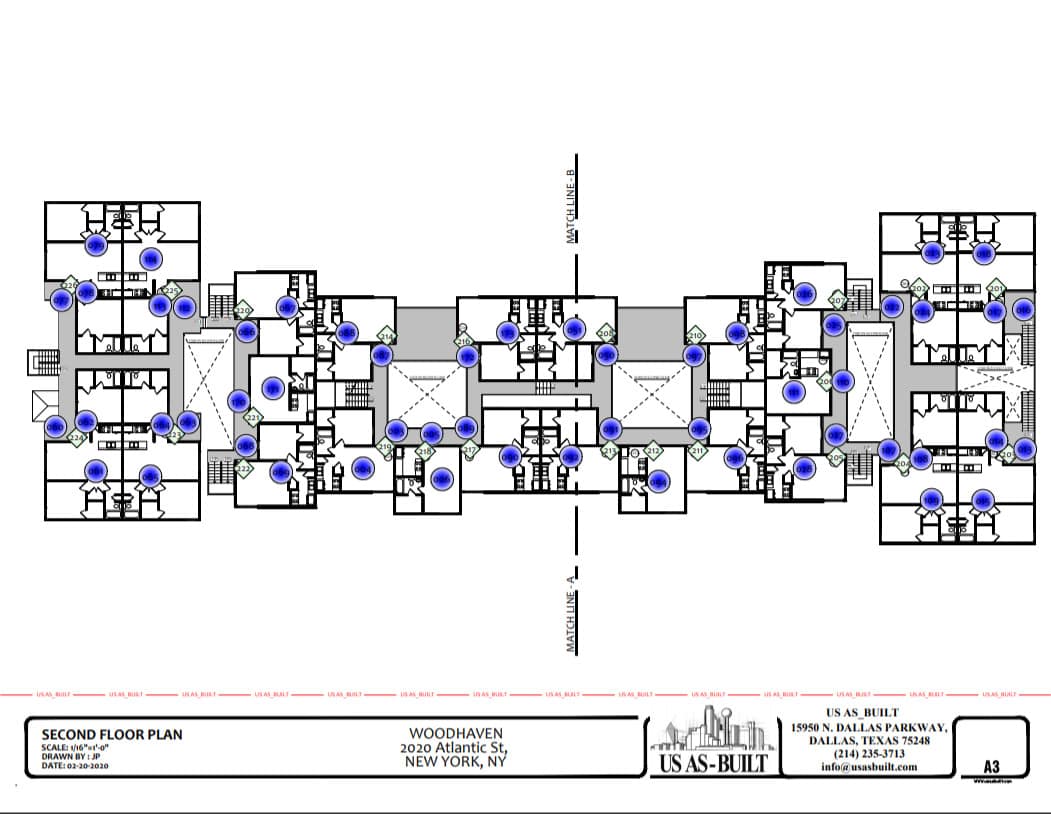
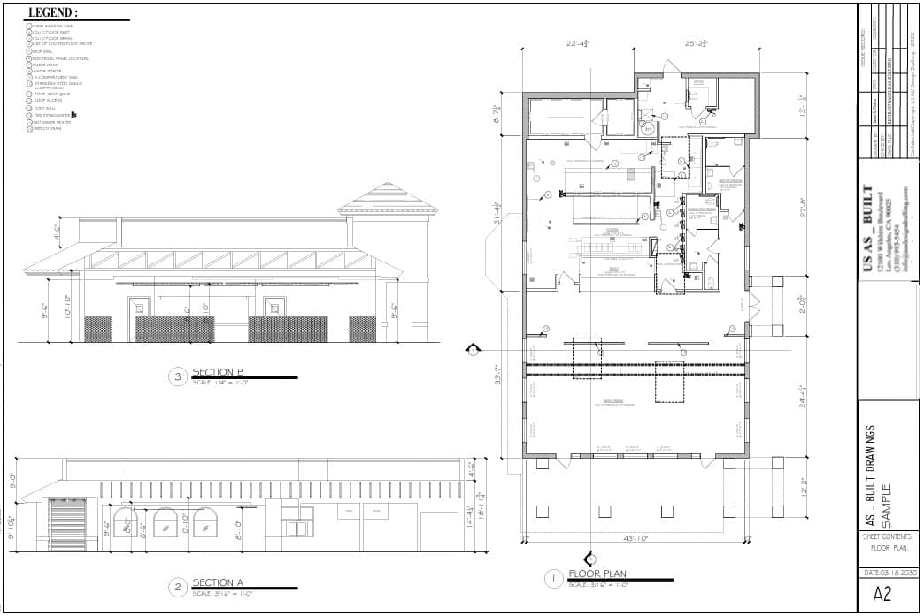
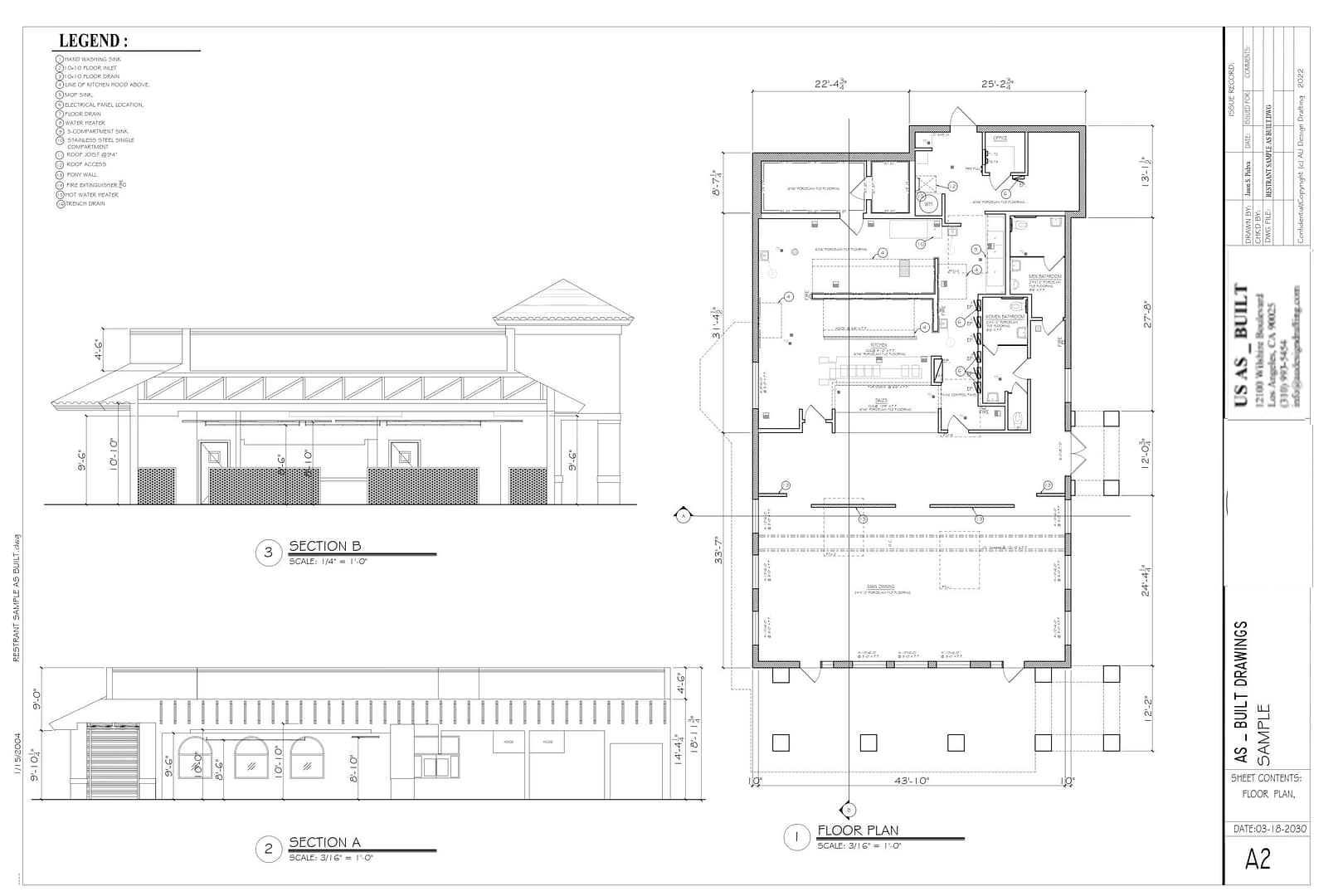
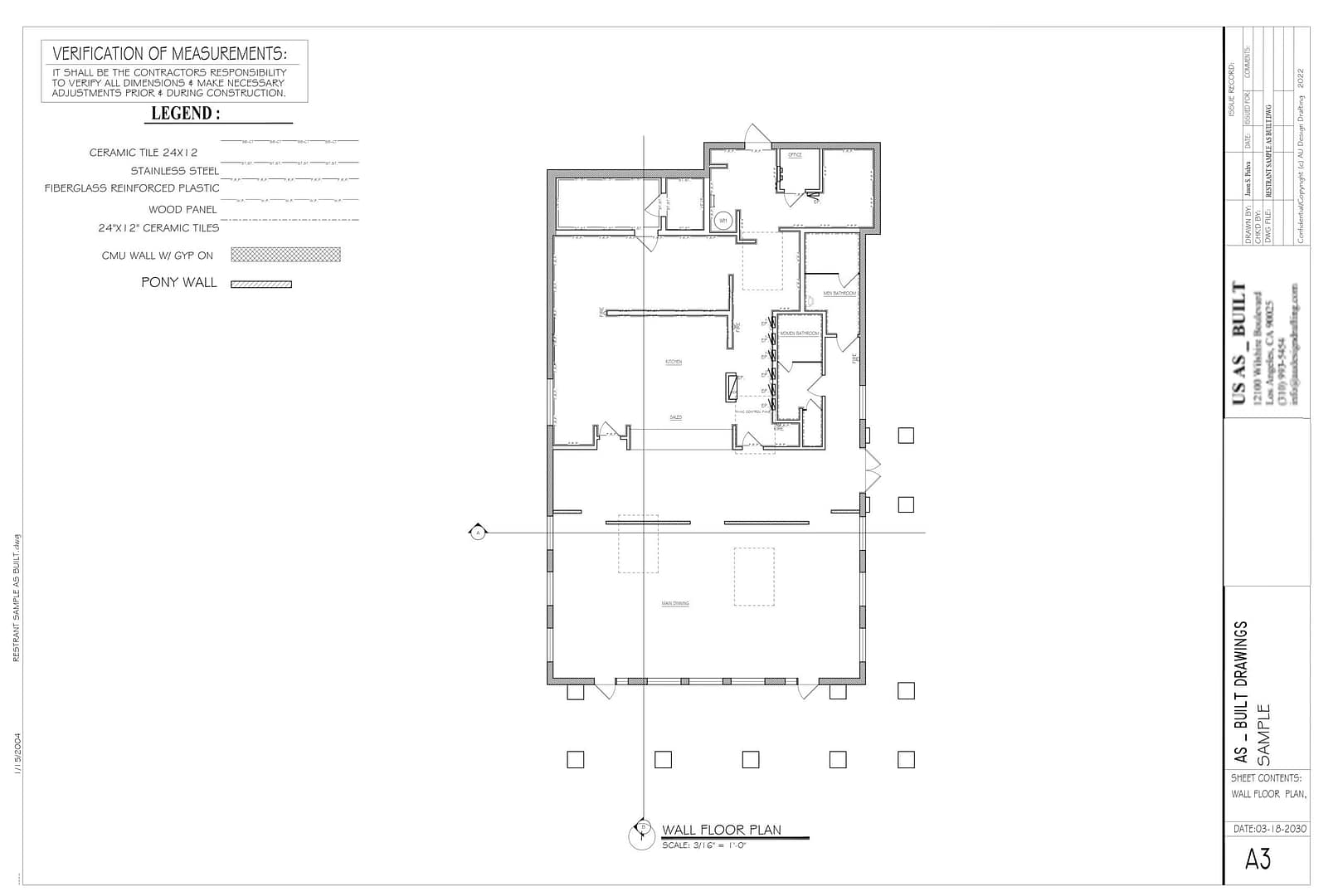
For instance, detailed floor plans show walls, doors, windows, built-in cabinets, stairs, fixtures, and more.

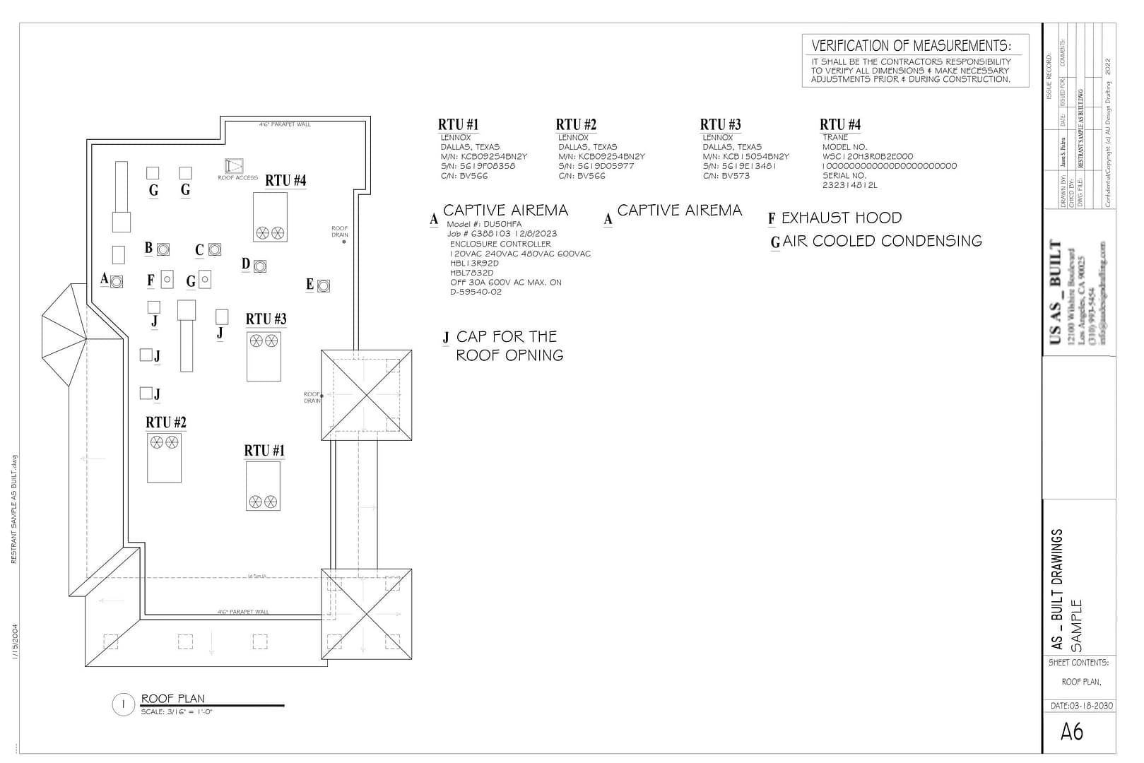
ROOF PLANS

Similarly, roof plans show ridges, valleys, slopes, gutters, chimneys, solar panels, skylights, and more.

EXTERIOR ELEVATIONS

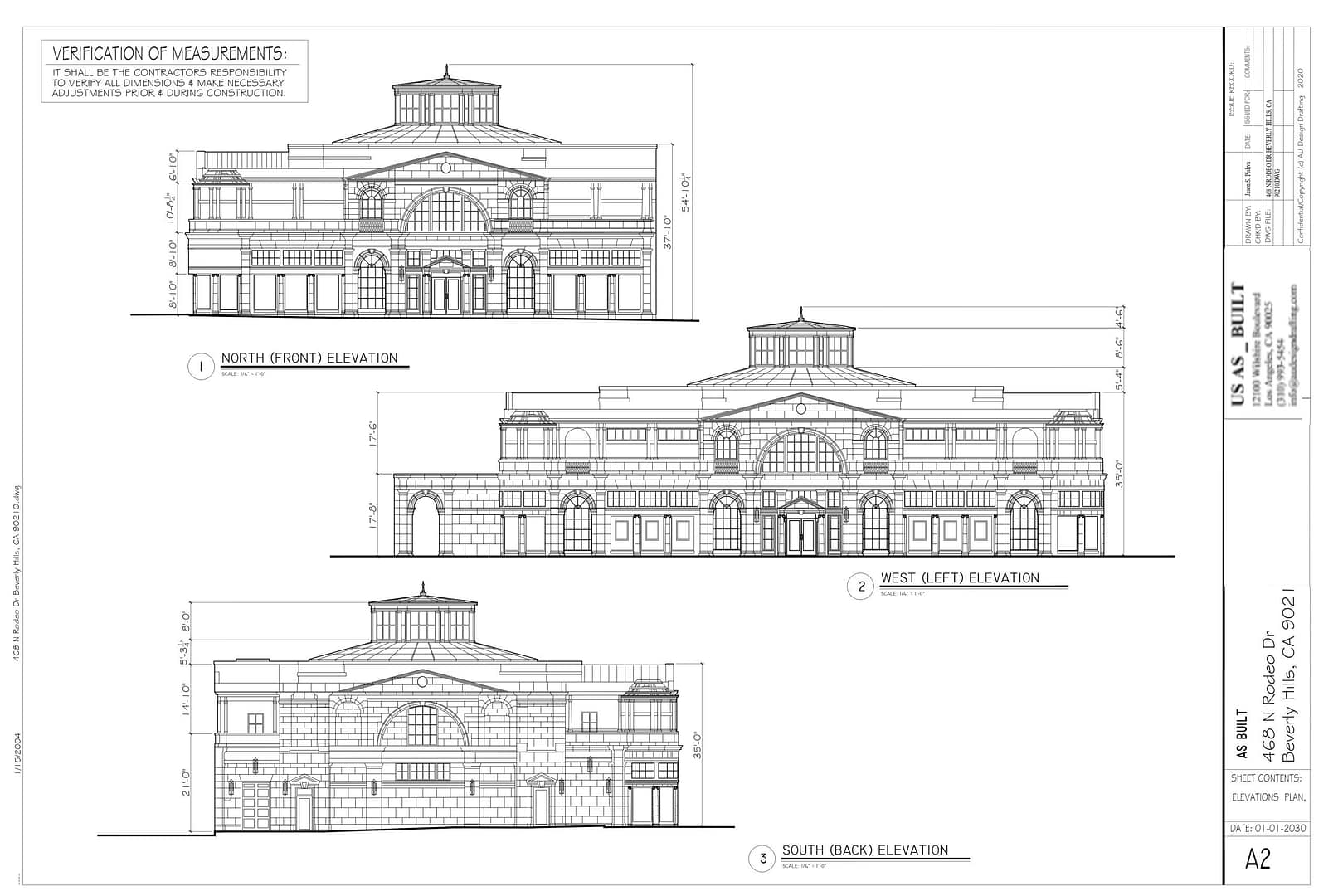
In addition, exterior elevations show facades, doors, windows, downspouts, vents, and more.

INTERIOR ELEVATIONS

Likewise, interior elevations show wall surfaces, doors, windows, cabinets, fixtures, shelves, and more.

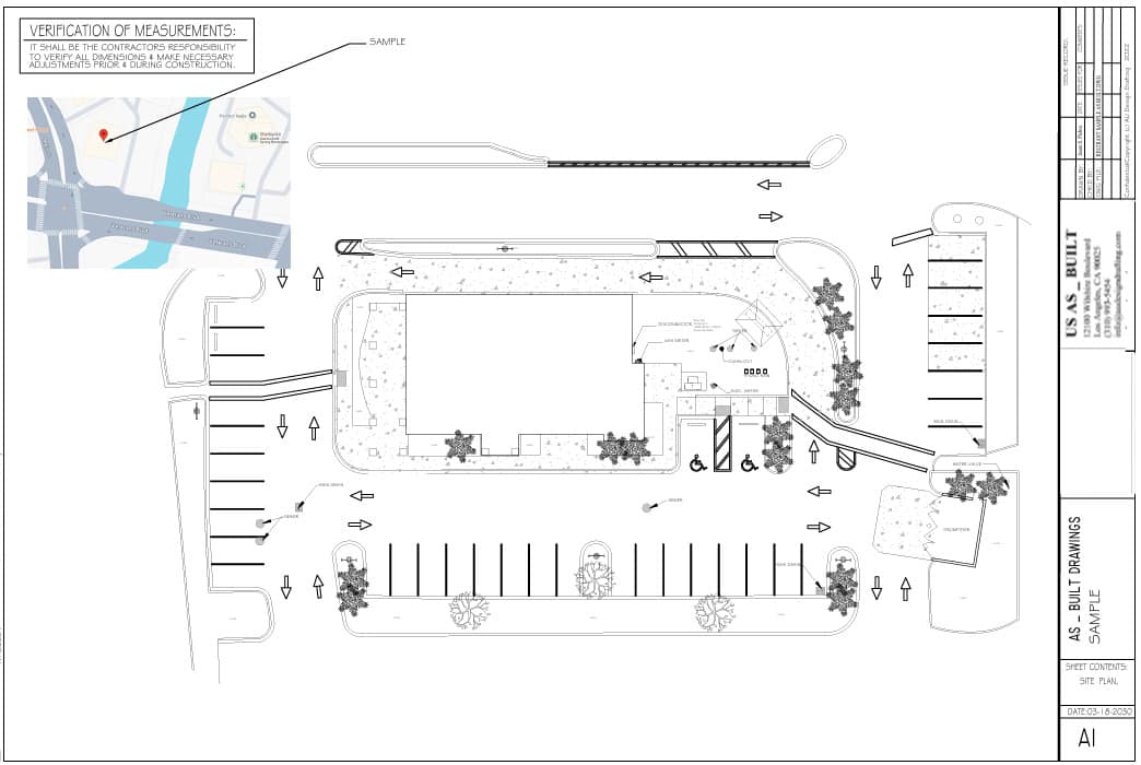
SITE PLANS

Meanwhile, site plans show buildings, sheds, decks, patios, fences, walkways, property lines, sidewalks, and more.

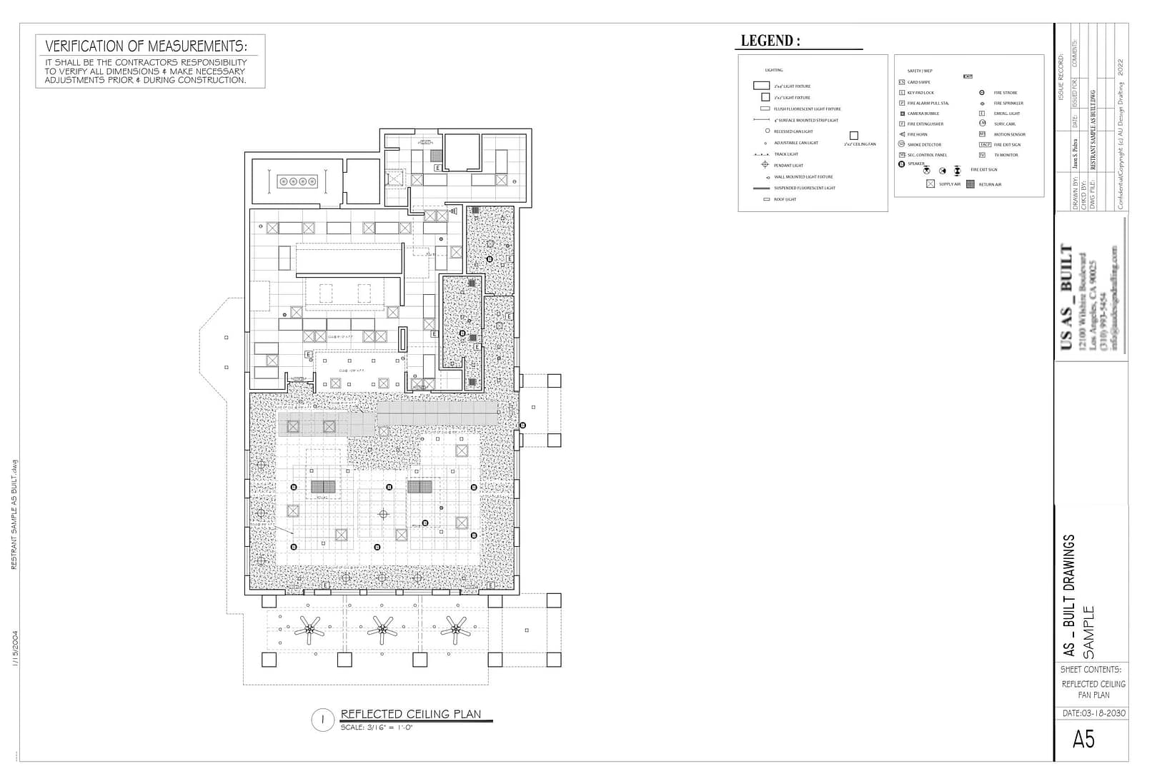
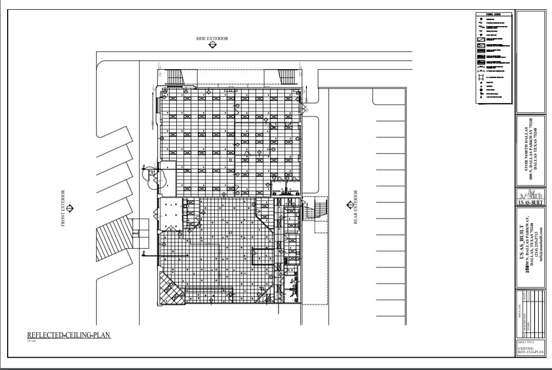
REFLECTED CEILING PLANS

Also, reflected ceiling plans show ceilings, beams, skylights, solatubes, light fixtures, fans, and more.

ARCHITECTURAL ELEVATIONS

For example, architectural elevations show detailed facade features, trim, reveals, ornaments, materials, and more.

STRUCTURAL ELEVATIONS

In turn, structural elevations show structural elements, materials, beams, posts, columns, connections, and more.

ELECTRICAL PLANS

Finally, electrical plans show light switches, power receptacles, cable, telephone, and more.

MECHANICAL PLANS

Next, mechanical plans show registers, thermostats, furnace, A/C units, heaters, and more.
M

CROSS SECTIONS

Cross sections showing sections of walls, floors, ceilings, roof, foundation and more.

BUILDING OUTLINES

Building outlines showing perimeter footprint of the house, building, sheds, barns and more.

STRUCTURAL PLANS

Then, structural plans show elements like walls, columns, beams, joists, rafters, and more.

SITE ELEMENTS

As well, site elevations show sheds, playhouses, trellises, canopies, retaining walls, and more.

PAPER TO CAD

Drafting services converting hand sketches, redlines, photographs, PDFs to CAD files.

CAD REDRAFTING

Drafting old floor plans and elevation drawings from the Architect or Building Department.

Need Commercial As-Built Documentation?

Tell us about your property, project scope and required deliverables. We’ll recommend the appropriate approach.