
Capture Existing Conditions With Confidence
Accurate existing-condition documentation is the foundation of a successful renovation, addition or redevelopment project. Traditional field measurements can require hundreds of individual measurements and may leave important conditions undocumented.
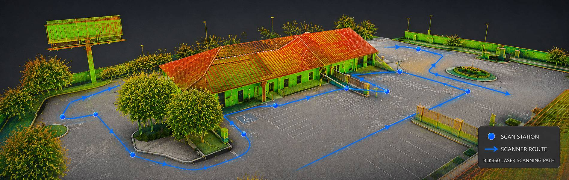
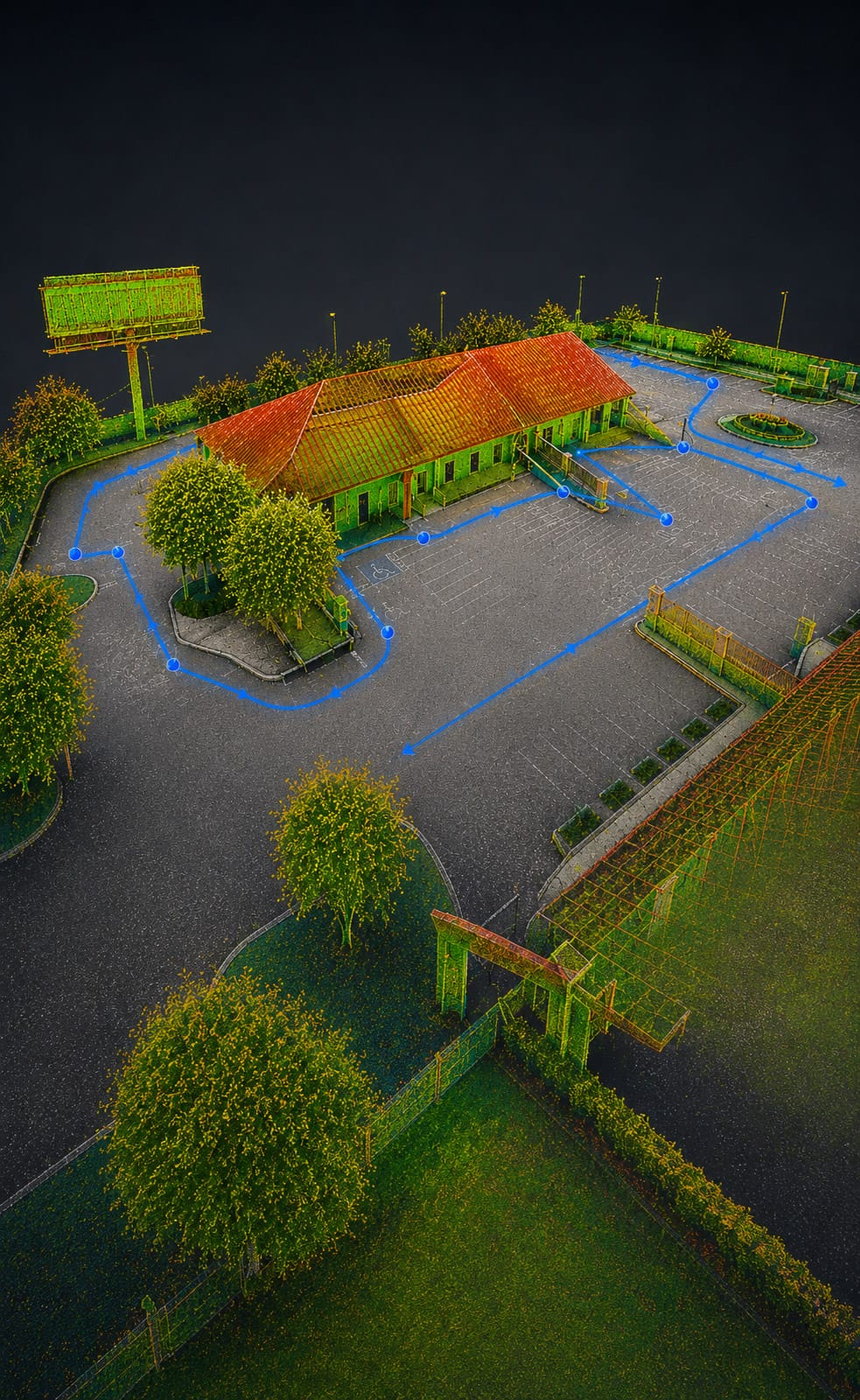
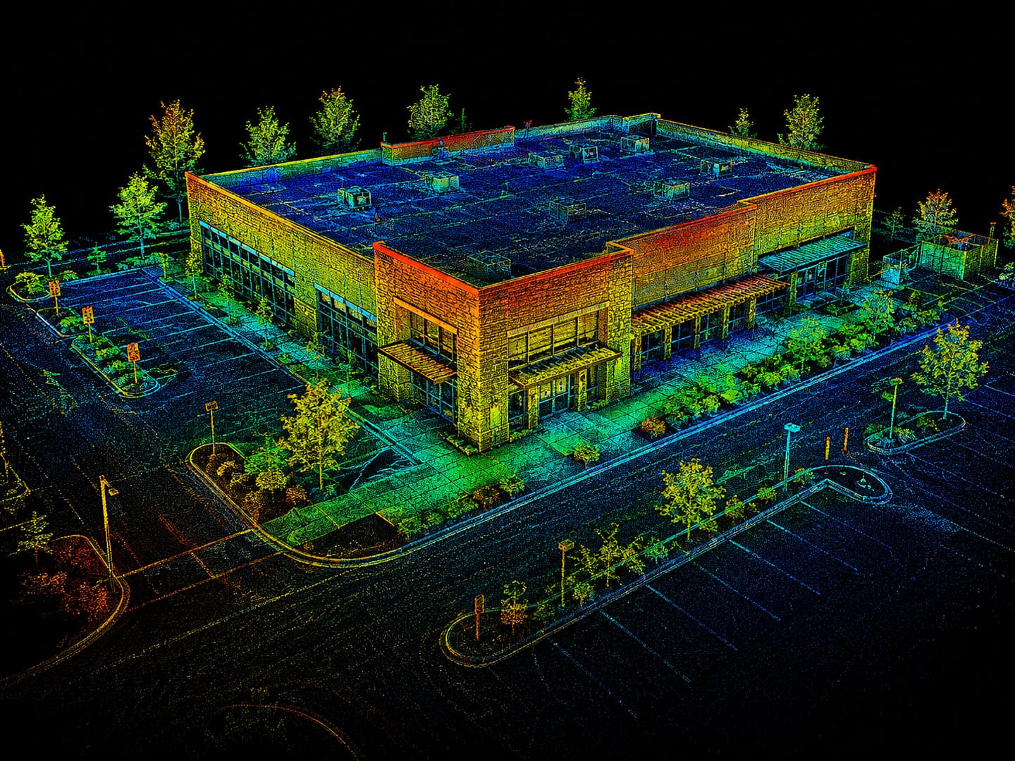
3D laser scanning captures the surrounding environment as a dense collection of measurable points, creating a detailed digital representation of the existing space. Our team can then use that data to prepare the drawings and models your project requires.
3D scanning can help:
- Capture complex spaces efficiently
- Reduce missed measurements and return site visits
- Document walls, openings, structural elements and building features
- Preserve a measurable digital record of existing conditions
- Support accurate CAD and Revit production
- Give project teams better information before design begins
Advanced 3D Capture Technology
Matterport + Leica BLK360 LiDAR
US As Built uses both Matterport and Leica BLK360 LiDAR scanning technology, allowing us to select the right capture method for the needs of each project.
Some projects benefit from using both technologies, combining precision dimensional capture with comprehensive visual documentation.
Leica BLK360 LiDAR Scanning
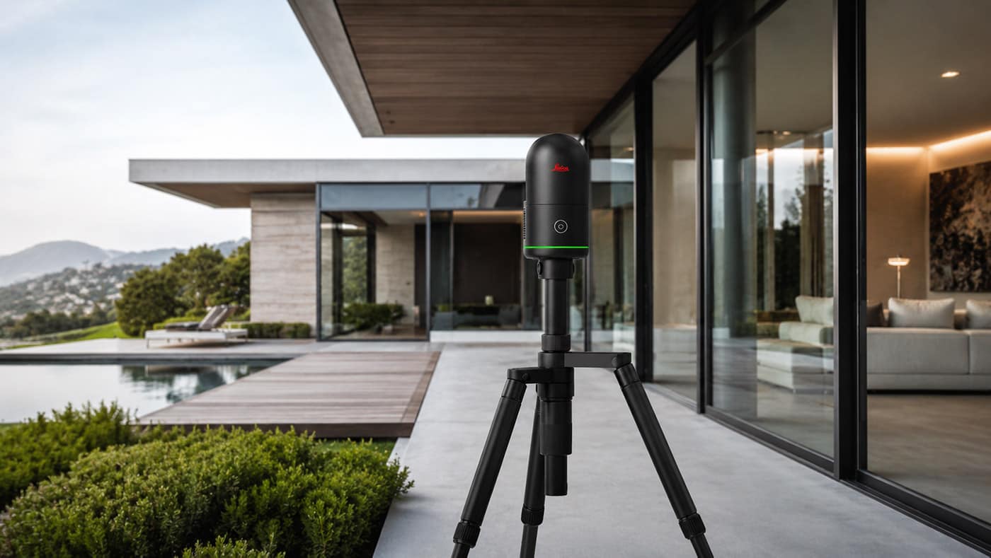
The BLK360 captures highly detailed three-dimensional point-cloud data along with spherical HDR imagery. It is particularly valuable when dimensional accuracy and detailed existing-condition documentation are critical to the project.
Leica specifies the current BLK360 at 4 mm accuracy at distances up to 10 meters, and its LiDAR system captures up to 680,000 points per second.
Matterport 3D Capture
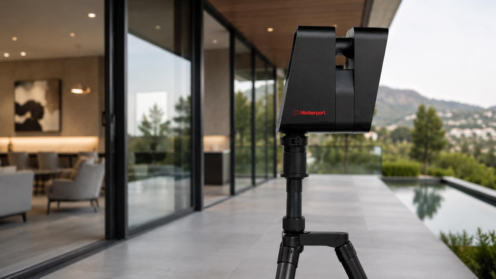
Matterport creates an immersive digital representation of a property that can be viewed and navigated remotely. It is particularly useful for visual documentation, project collaboration and giving architects, designers, contractors and property owners continued access to a captured space after the site visit.
Matterport models can function as shareable digital twins, giving project stakeholders remote access to the documented space.
From 3D Scan to the Deliverable You Need
Capturing existing conditions is only the beginning. US As Built combines field scanning with in-house drafting and as-built documentation services to turn captured conditions into usable project information.
POINT CLOUD DATA
Detailed three-dimensional documentation of captured existing conditions.
AUTOCAD DRAWINGS
Accurate 2D CAD drawings created from field measurements and scan data.
REVIT / 3D MODELS
Existing-condition building models to support architectural and construction workflows.
FLOOR & SITE PLANS
Dimensioned plans documenting the property’s current configuration.
ELEVATIONS & SECTIONS
Interior, exterior and sectional documentation based on project requirements.
360° & STILL PHOTOGRAPHY
Visual documentation of existing site conditions for remote review and future reference.
3D Scanning for Residential and Commercial Projects
Renovations & Additions
Capture the existing structure before design work begins.
Commercial Tenant Improvements
Document existing suites, offices, retail spaces and building interiors.
Architectural As-Builts
Building Exteriors & Elevations
Capture complex façades, openings, architectural details and surrounding conditions.
Sites & Parking Areas
Document buildings, pavement, curbs, walks, landscaping and other visible site features.
Historic Buildings
Create detailed digital documentation of structures where existing drawings may be incomplete or unavailable.
Facilities & Property Management
Maintain a current visual and dimensional record of existing building conditions.
Large & Complex Properties
Capture extensive environments more efficiently than relying exclusively on individual manual measurements.
Need a 3D Scan or As-Built Documentation?
Tell us about your property and the deliverables your project requires. US As Built can help determine the appropriate scanning method and provide a quote for field capture, drafting, modeling or complete as-built documentation.
- Residential & Commercial Projects
- Matterport & Leica BLK360 Capture
- CAD, Revit & Point Cloud Deliverables
Get a Free Quote
"*" indicates required fields
Our 3D Scanning Process

Project Scope

Complimentary Quote

On-Site 3D Capture

Data Processing & Drafting

Digital Delivery
More Than a 3D Scanning Company
US As Built combines advanced reality-capture technology with extensive experience in as-built measurement, drafting and existing-condition documentation. Instead of handing you raw scan data and leaving the rest to your design team, we can carry the project from field capture through finished CAD drawings and Revit documentation.
Experienced As-Built Team
Advanced LiDAR Technology
CAD & Revit Capabilities
Residential & Commercial
Nationwide Service
FAQ
What is 3D laser scanning?
3D laser scanning uses LiDAR technology to measure surrounding surfaces and create a dense collection of three-dimensional measurement points known as a point cloud. That captured data can be used to document existing building and site conditions and to develop CAD drawings and 3D models.
What is the difference between Matterport and BLK360 scanning?
Matterport is particularly effective for immersive visual documentation and remote navigation through a captured property. Leica BLK360 is a precision LiDAR scanner designed to capture detailed point-cloud data for measurement and reality-capture workflows. US As Built can use the technology best suited to the project’s requirements.
Can you create AutoCAD or Revit files from a 3D scan?
Yes. US As Built can use captured existing-condition data to produce AutoCAD drawings, Revit models and other as-built documentation based on the project scope.
What types of properties can be 3D scanned?
We provide scanning and as-built services for residential homes, apartments, commercial buildings, offices, retail properties, warehouses, hotels, schools and many other types of existing structures and sites.
Do I receive the point cloud?
Point-cloud data can be included when required. Project deliverables are established before scanning so the captured data and final documentation are appropriate for your design, construction or facility-management workflow.
Need Accurate Existing-Condition Documentation?
Tell us about your project and the files your team needs. We’ll recommend the appropriate scanning and as-built documentation approach.
As-Built Drawing & Documentation Services
Residential and commercial existing-condition documentation tailored to the needs of each project.
- As-Built Site Plans
- Existing Floor Plans
- Reflected Ceiling Plans
- As-Built Elevations
- Building Sections
- Existing-Condition Surveys
- Construction Documents for Permitting
- Historic Building Documentation
- AutoCAD Drawings
- Revit Models
Accurate Capture. Reliable Drawings.
US As Built combines advanced field-capture technology with experienced drafting and modeling to produce accurate, dependable as-built documentation for residential and commercial projects.
Depending on the project, our team may use Leica BLK360 LiDAR scanning, Matterport 3D capture, laser measurement, 360° photography, and detailed field documentation to record existing conditions efficiently and thoroughly.
Captured data can then be developed into the deliverables your project requires, including AutoCAD drawings, Revit models, floor plans, site plans, elevations, sections, point clouds, and supporting photographic documentation.
We provide architects, contractors, designers, owners, and project teams with reliable existing-condition information they can use for design, renovation, permitting, planning, and construction.