

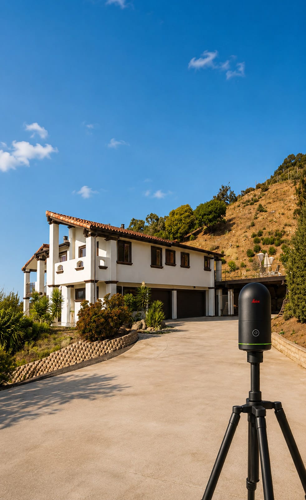
Residential As-Built Surveys & Existing-Condition Documentation
US As Built captures the dimensions, layout, architectural features, and existing conditions of residential properties and converts that field data into clear, accurate drawings for homeowners, architects, designers, contractors, and other project professionals.
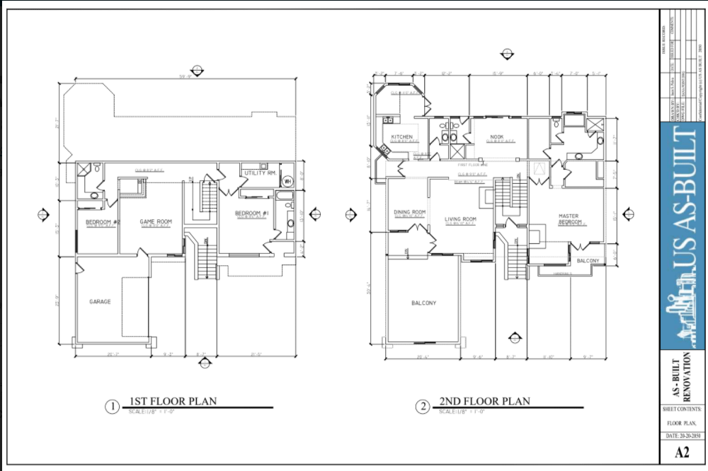
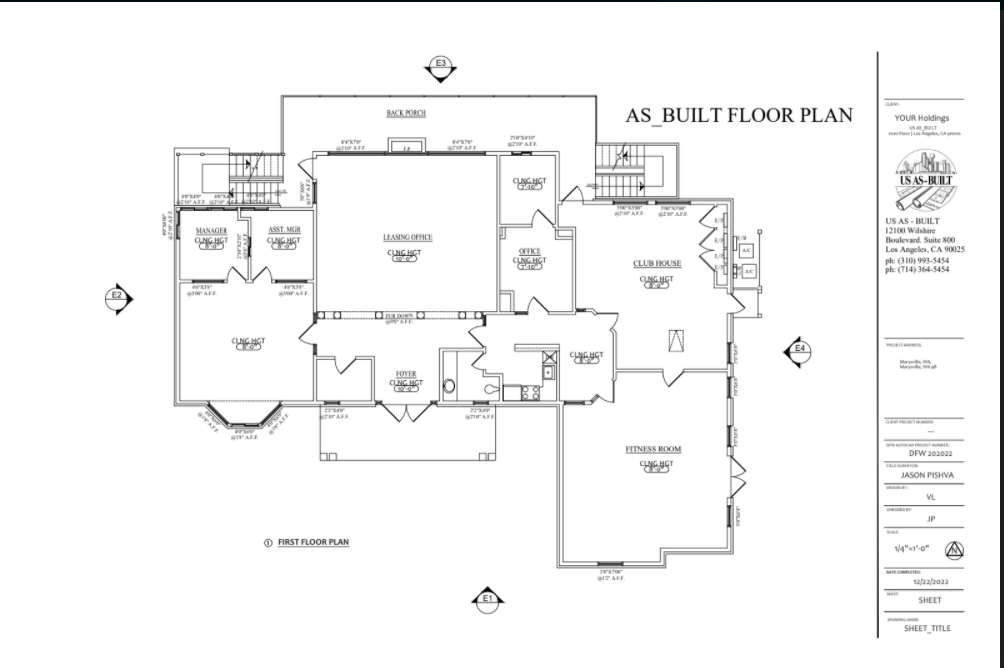
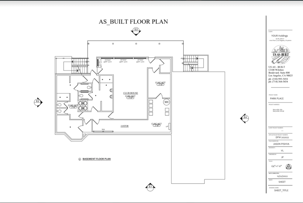
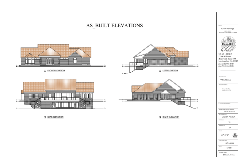
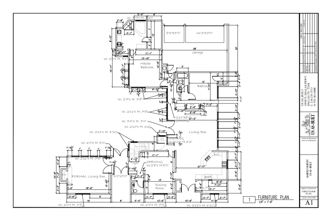
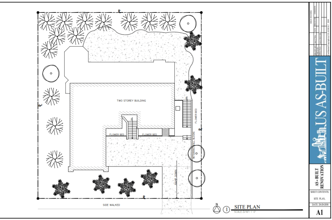
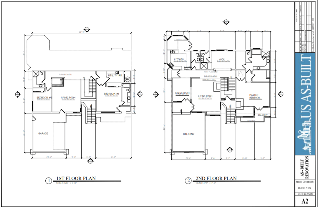
Depending on the project, deliverables can include floor plans, elevations, reflected ceiling plans, roof plans, site information, sections, and other documentation required for design, planning, permitting, or construction.

Accurate Existing Conditions for Renovation, Design & Construction
Residential projects often begin with incomplete plans, outdated drawings, or no usable documentation at all. US As Built creates an accurate record of the property as it exists today, giving the project team dependable information before design or construction begins.
RENOVATIONS & REMODELS
ARCHITECTURAL & INTERIOR DESIGN
ADDITIONS & PERMITTING
PROPERTY DOCUMENTATION

FOR INTERIOR DESIGNERS
A Better Starting Point for Every Design
US As Built partners with interior designers to provide accurate documentation of existing residential conditions. Using Matterport 3D capture and Leica LiDAR scanning, we can document the space before your design work begins and deliver the information you need in a format that fits your workflow.
Accurate existing floor plans and dimensions
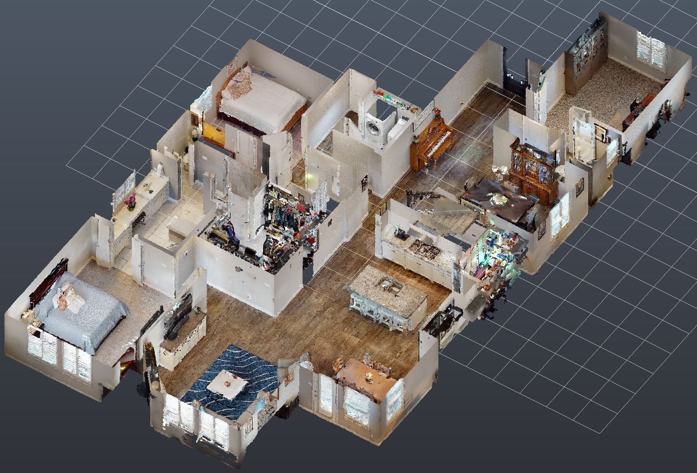
3D virtual walkthroughs for remote reference
CAD, Revit and point cloud deliverables
Reliable documentation for remodels, additions and interior renovations
Tell Us About Your Project or Partnership
Tell us about your current project or how your design firm typically works. We’ll help determine the right existing-condition documentation and deliverables for your needs.
Advanced 3D Capture Technology
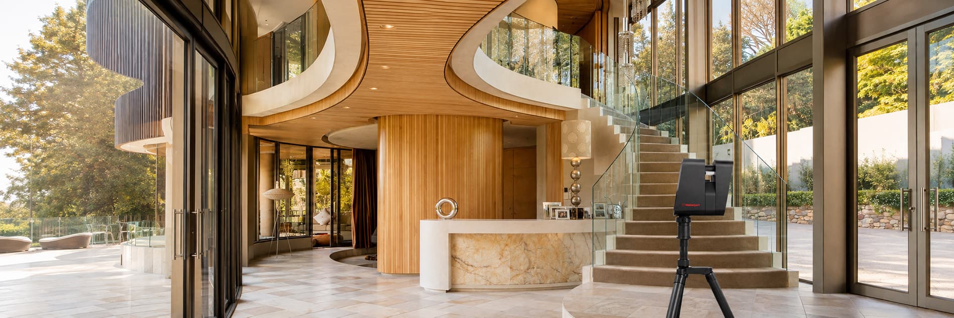
Matterport + Leica BLK360 LiDAR
US As Built uses both Matterport and Leica BLK360 LiDAR scanning technology, allowing us to select the right capture method for the needs of each project.
Some projects benefit from using both technologies, combining precision dimensional capture with comprehensive visual documentation.
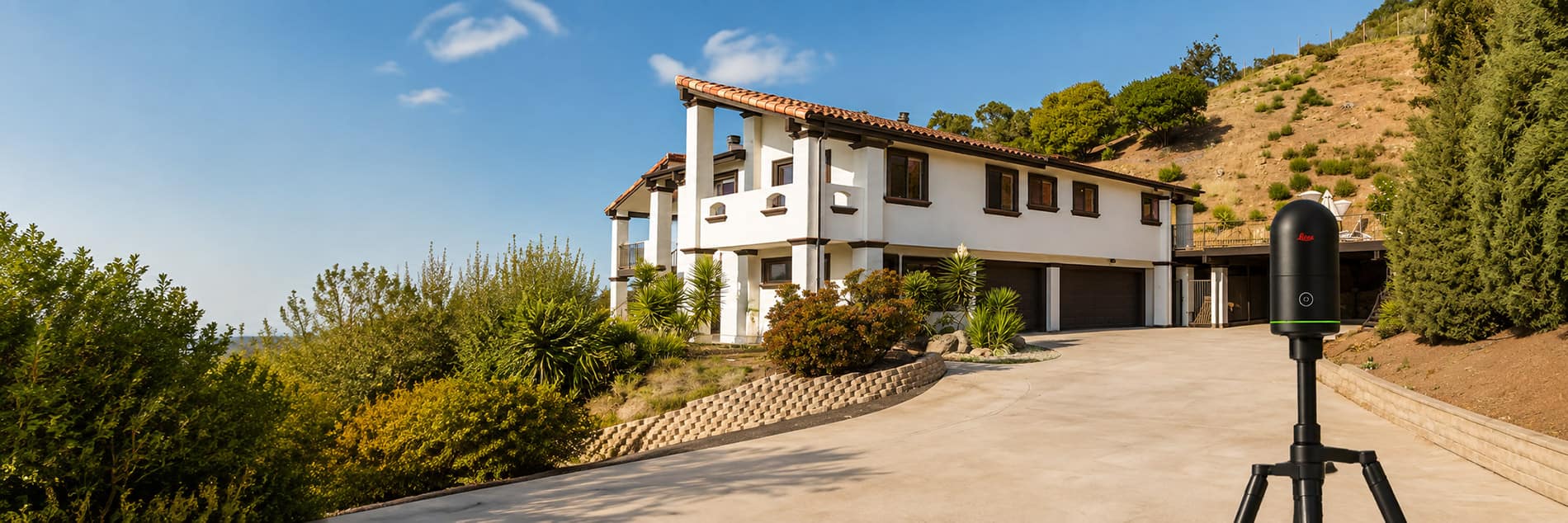
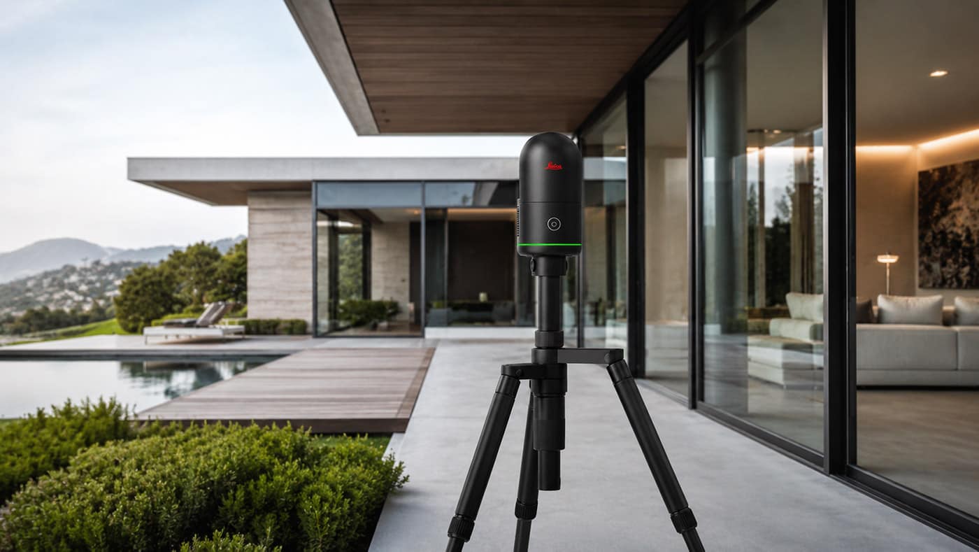
Leica BLK360 LiDAR Scanning
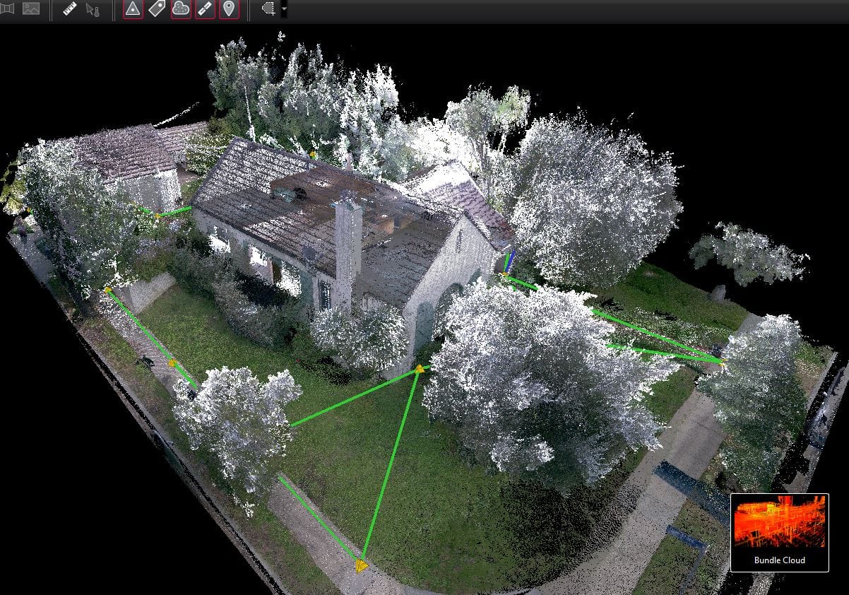
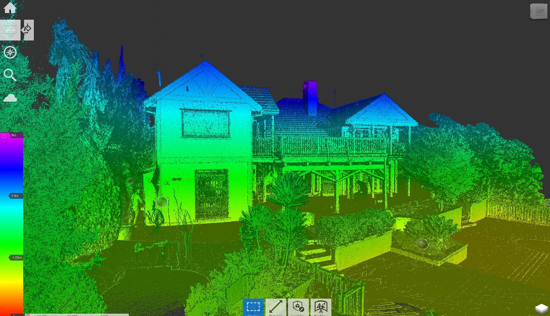
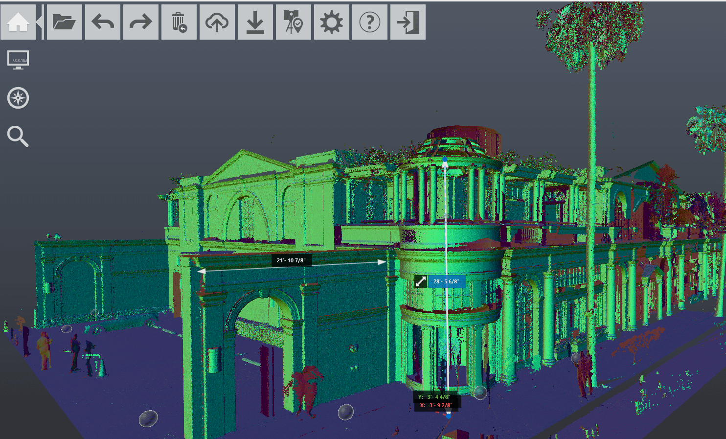
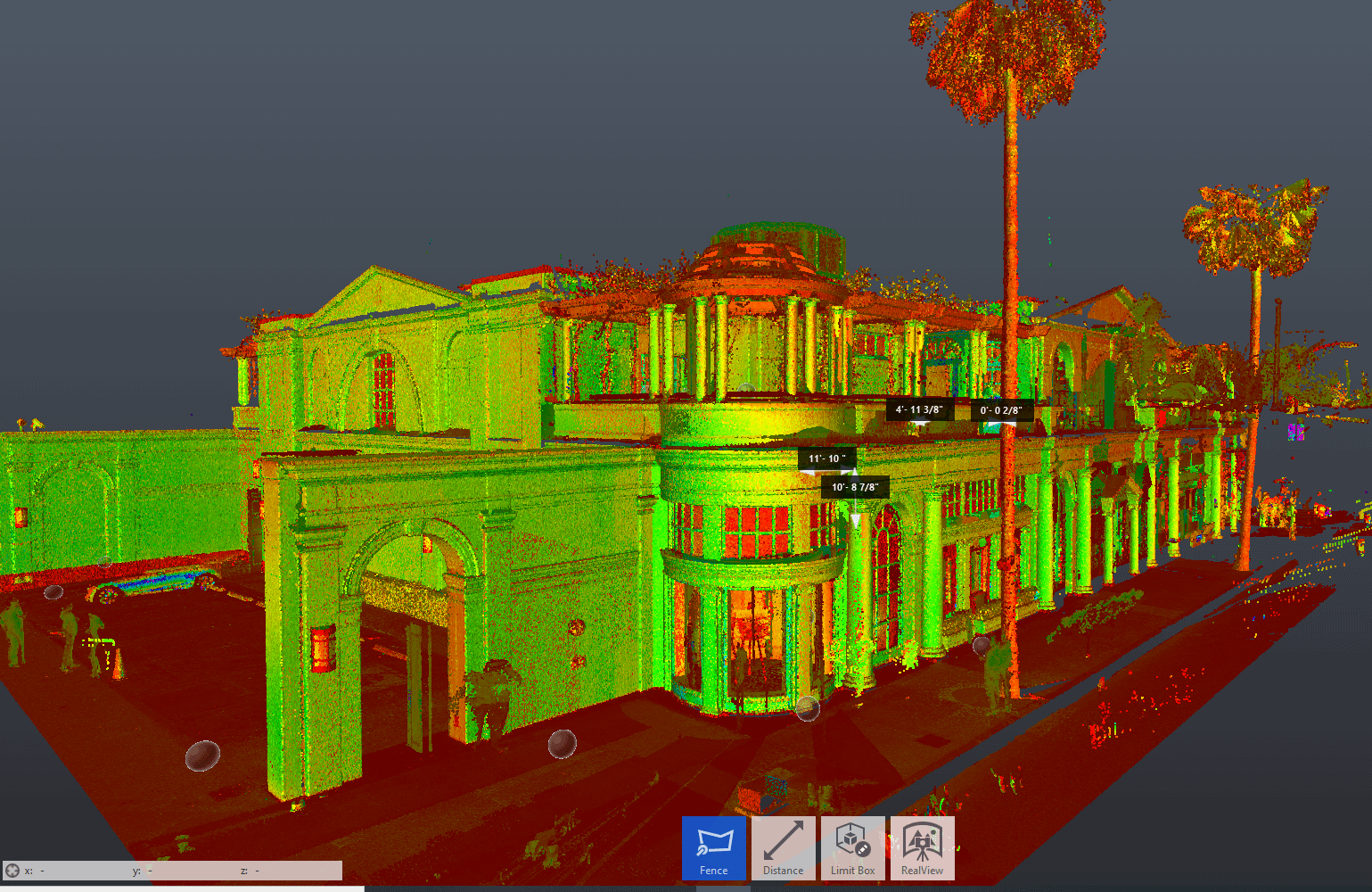
The BLK360 captures highly detailed three-dimensional point-cloud data along with spherical HDR imagery. It is particularly valuable when dimensional accuracy and detailed existing-condition documentation are critical to the project.
Leica specifies the current BLK360 at 4 mm accuracy at distances up to 10 meters, and its LiDAR system captures up to 680,000 points per second.
Matterport 3D Capture
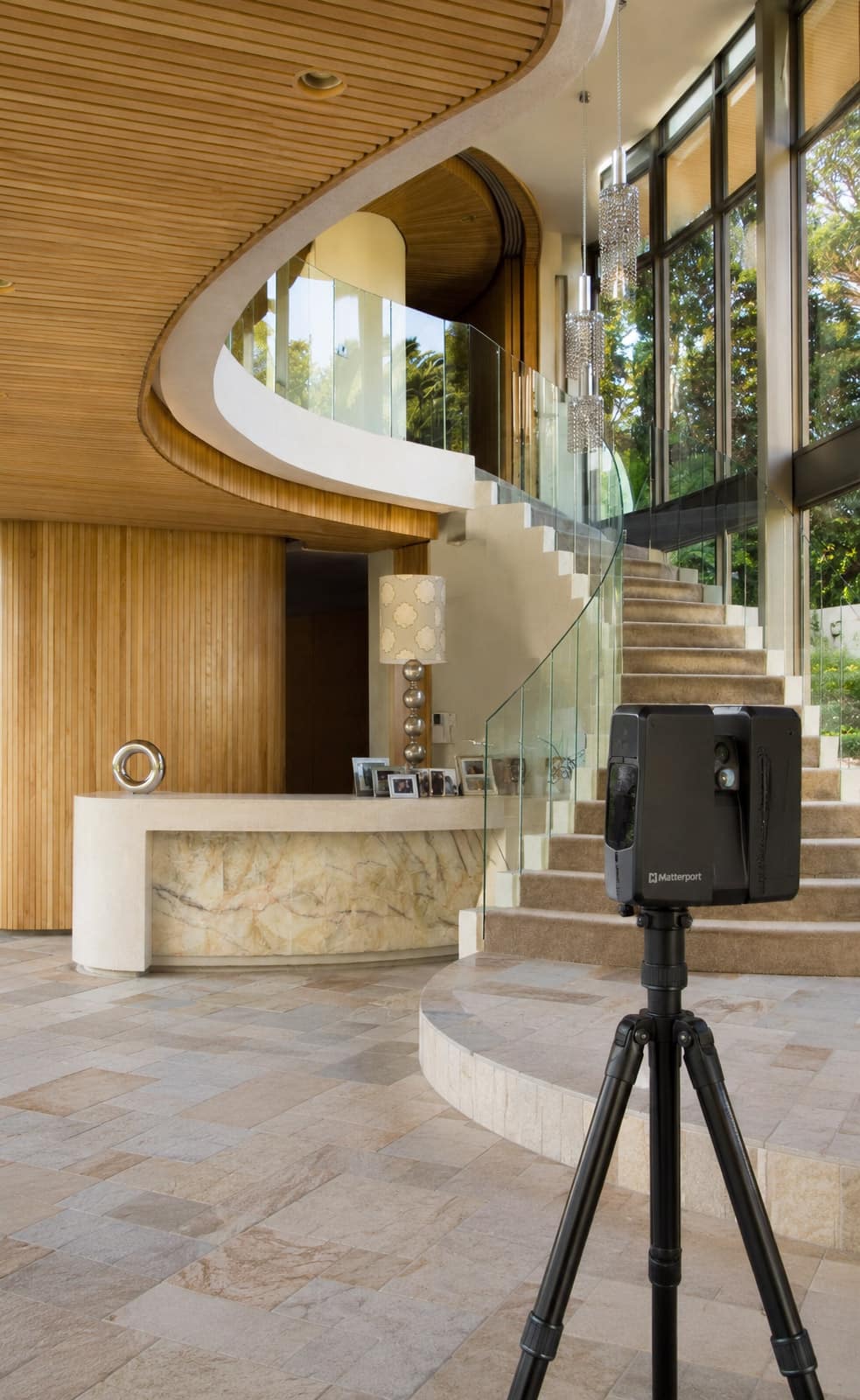
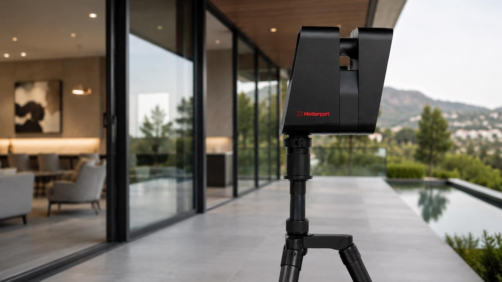
Matterport creates an immersive digital representation of a property that can be viewed and navigated remotely. It is particularly useful for visual documentation, project collaboration and giving architects, designers, contractors and property owners continued access to a captured space after the site visit.
Matterport models can function as shareable digital twins, giving project stakeholders remote access to the documented space.
Residential As-Built Drawing Deliverables
Deliverables are tailored to the requirements of each project and can range from basic existing floor plans to comprehensive architectural documentation.
FLOOR PLANS
For instance, detailed floor plans show walls, doors, windows, built-in cabinets, stairs, fixtures, and more.
ROOF PLANS
Similarly, roof plans show ridges, valleys, slopes, gutters, chimneys, solar panels, skylights, and more.
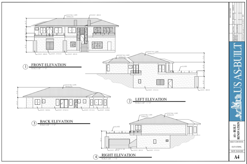
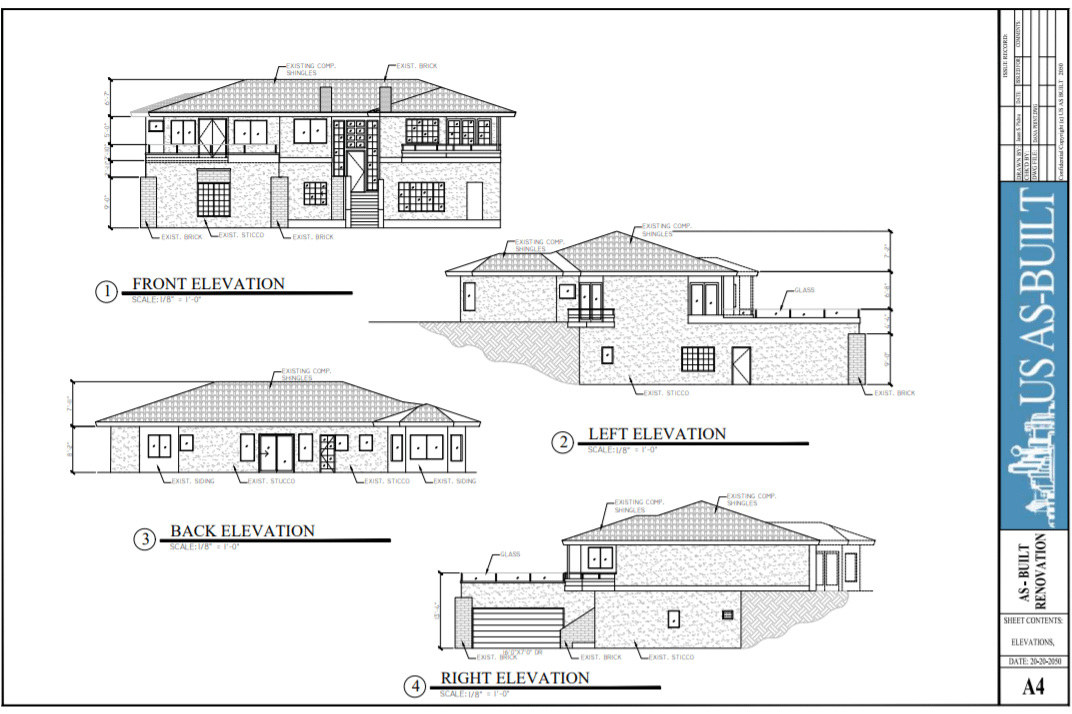
EXTERIOR ELEVATIONS
INTERIOR ELEVATIONS
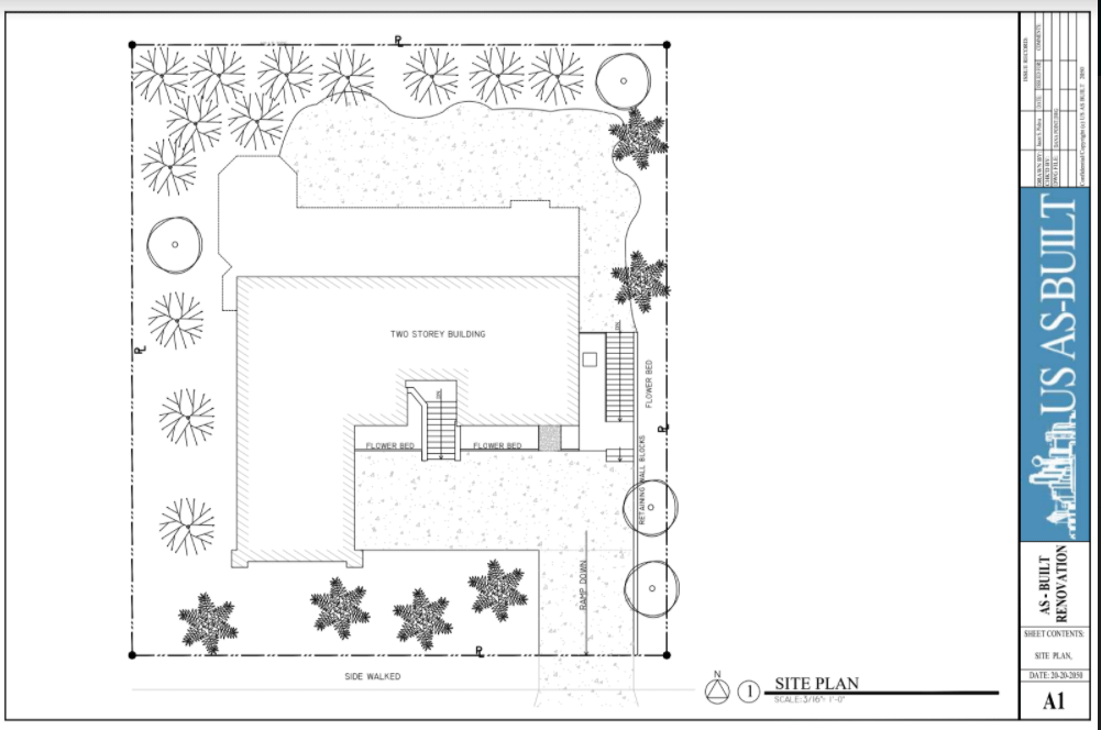
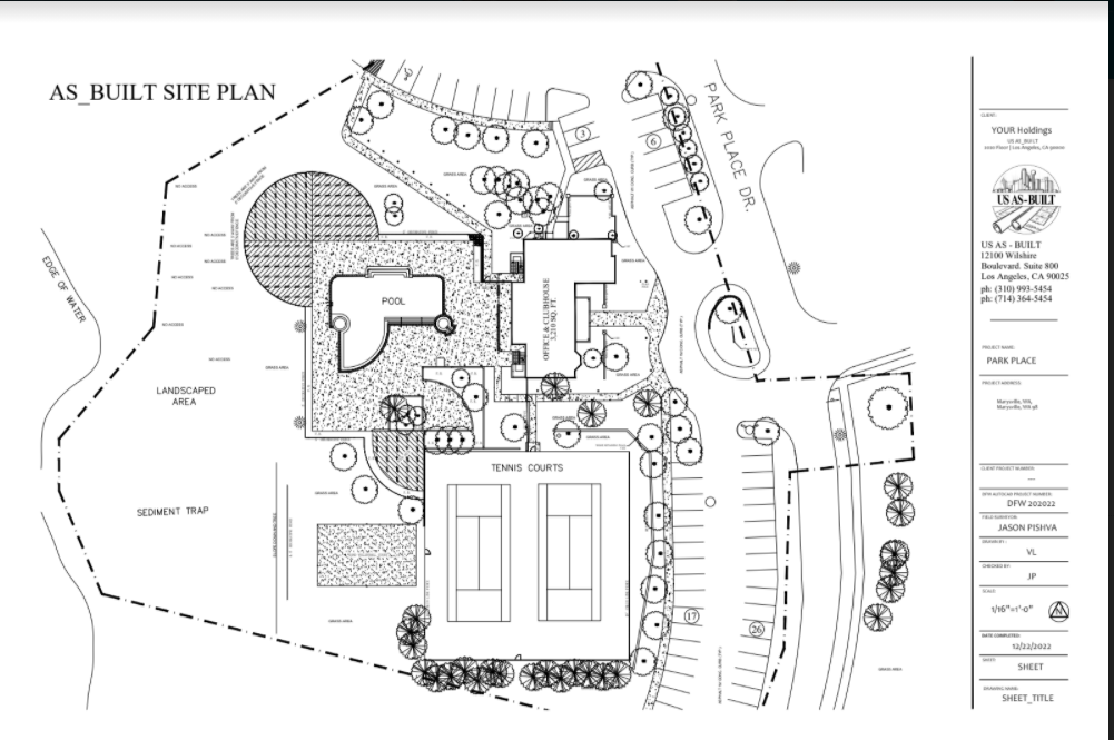
SITE PLANS
REFLECTED CEILING PLANS
Also, reflected ceiling plans show ceilings, beams, skylights, solatubes, light fixtures, fans, and more.
ARCHITECTURAL ELEVATIONS
STRUCTURAL ELEVATIONS
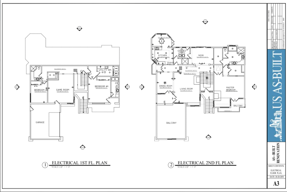
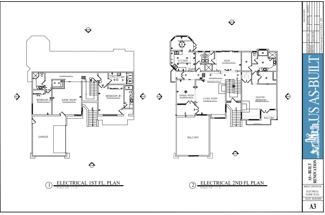
ELECTRICAL PLANS
Finally, electrical plans show light switches, power receptacles, cable, telephone, and more.
MECHANICAL PLANS
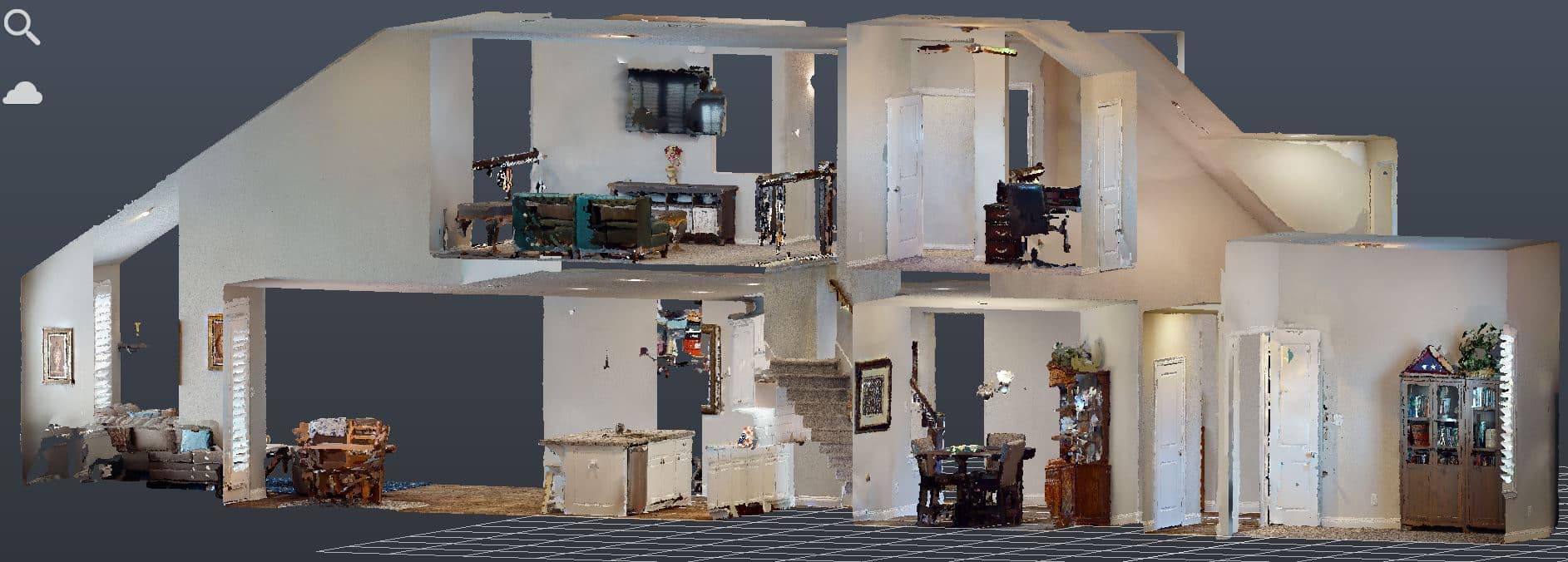
CROSS SECTIONS
Cross sections showing sections of walls, floors, ceilings, roof, foundation and more.
BUILDING OUTLINES
Building outlines showing perimeter footprint of the house, building, sheds, barns and more.
STRUCTURAL PLANS
SITE ELEMENTS
PAPER TO CAD
CAD REDRAFTING
Drafting old floor plans and elevation drawings from the Architect or Building Department.
From Field Survey to Finished Drawings

DEFINE THE SCOPE

CAPTURE EXISTING CONDITIONS

DRAFT & VERIFY

DELIVER YOUR FILES
Planning a Residential Project?
Start with accurate documentation of the property as it exists today.
Tell us about your project, the property, and the drawings or documentation you need. We’ll review the requirements and provide a quote for the as-built survey and deliverables.
Get a Free Quote
"*" indicates required fields